What is the Great Shiga Ichi?
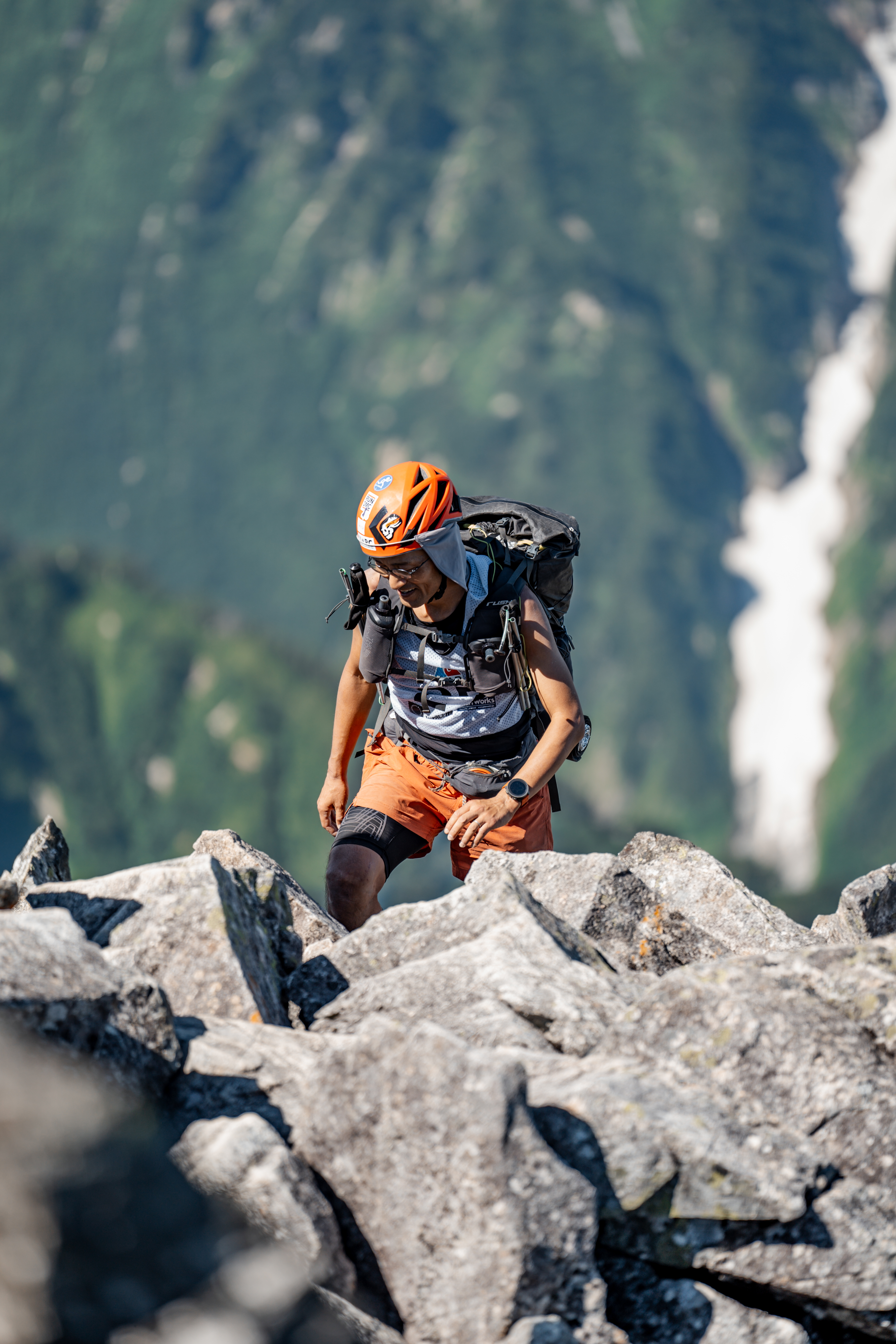
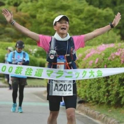
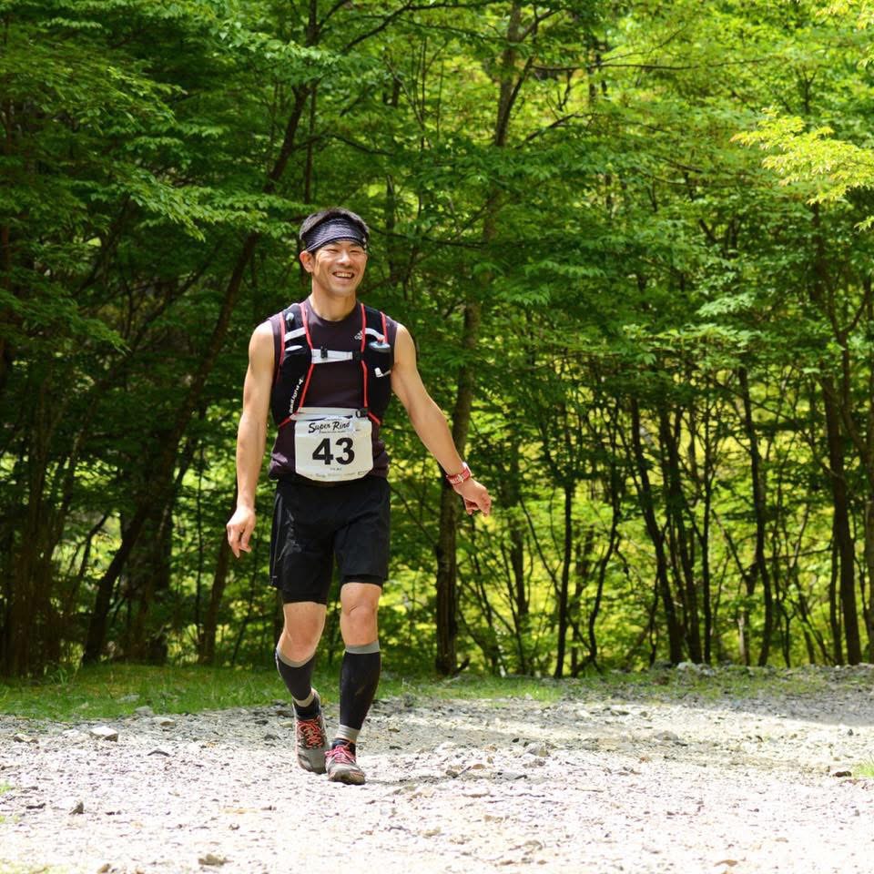
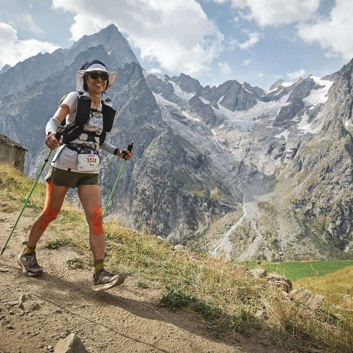
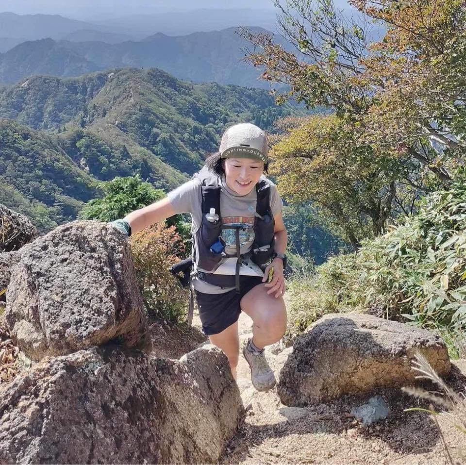
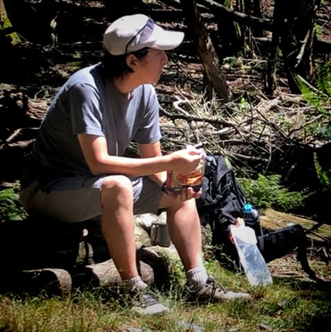
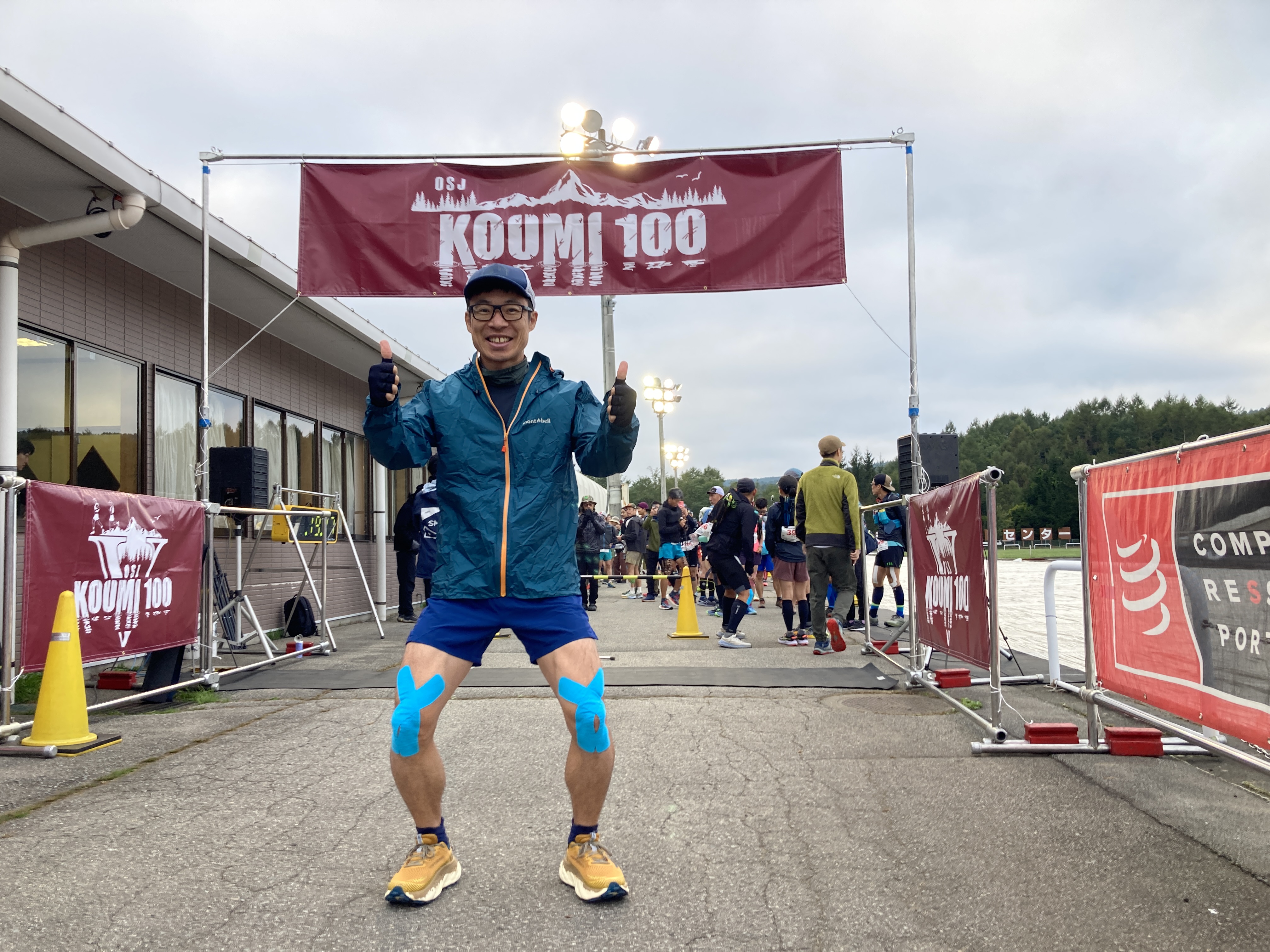
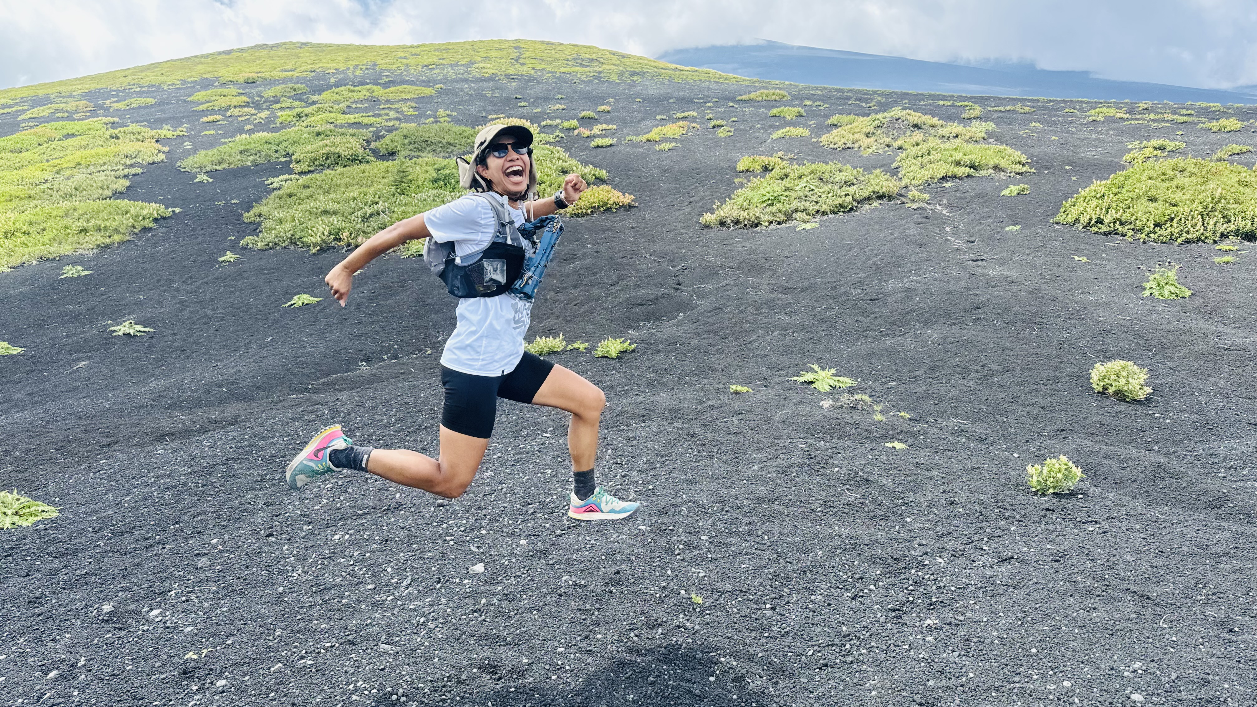
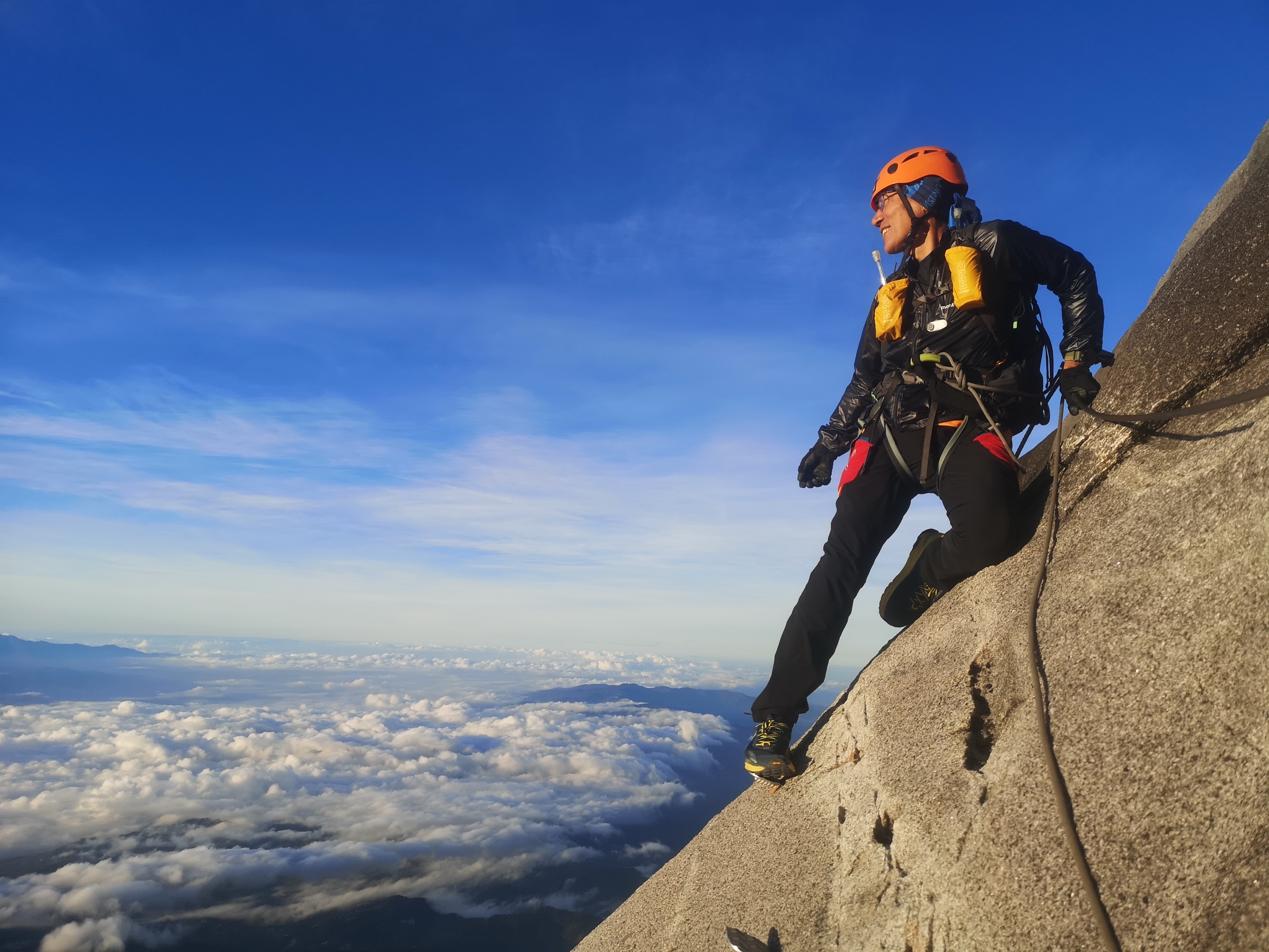
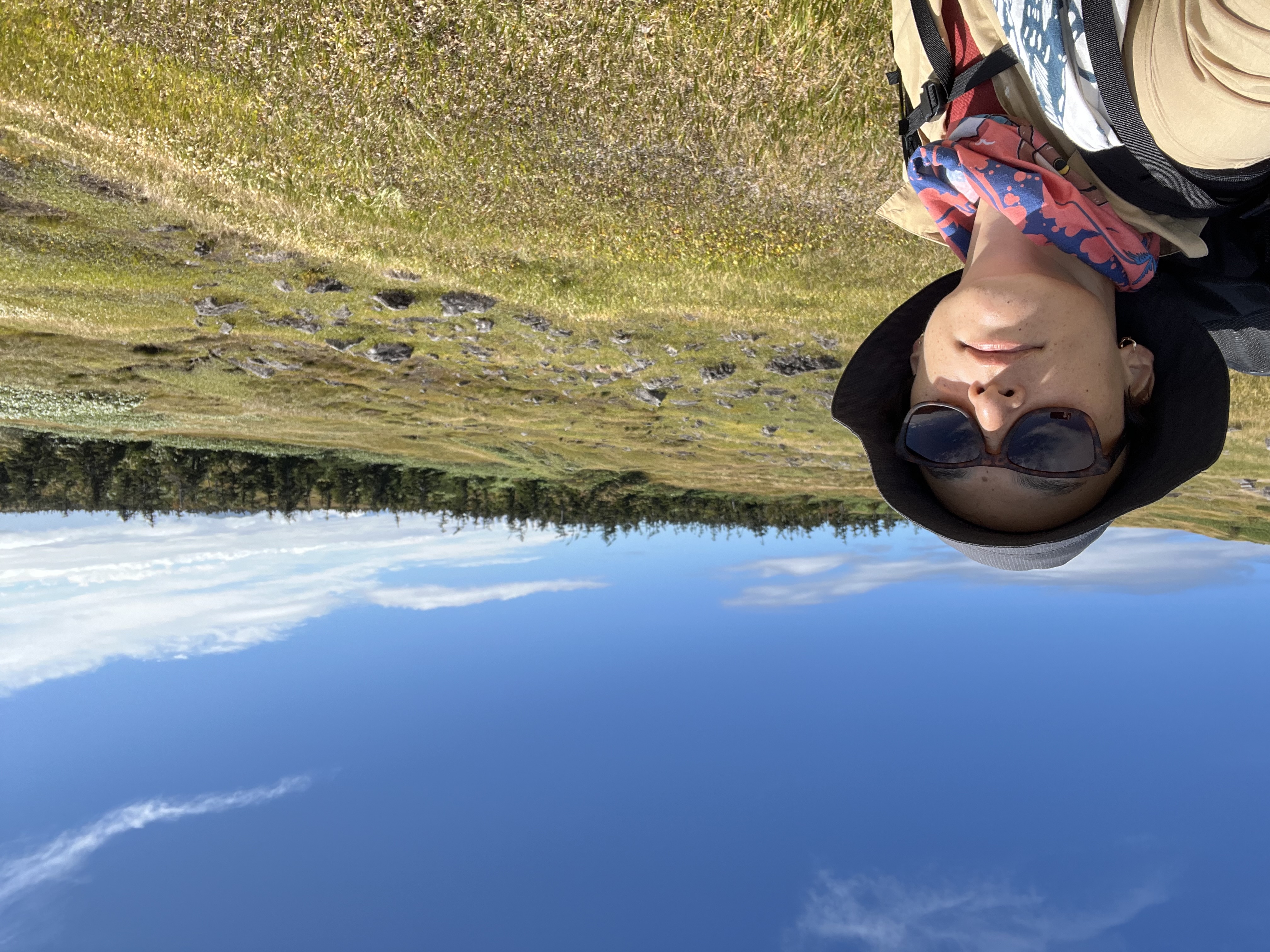
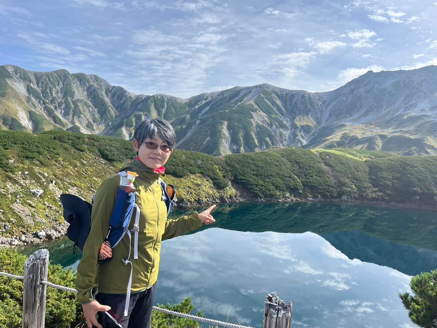
”Great Shiga Ichi” is a self-challenge event in which participants fully traverse the Shiga Round Trail encircling Shiga Prefecture, home to Lake Biwa. Also known as “Shiga Ichi”, this trail stretches 438 km with a total elevation gain of 28,300 m, ranking among Japan’s longest trails. More than 90% of the route consists of mountain paths or dirt forest roads. Though its elevations typically stay around 1,000 m—relatively low compared to major alpine regions—some segments are unclear or unmaintained, requiring solid route-finding skills and a certain level of hiking experience. Another key attraction is the abundance of historical sites, including ancient highways and old castle ruins. These features allow you to enjoy both magnificent scenery and traces of Japan’s heritage and local lifestyles.
Compared to “Great Northern Japanese Alps”, the lower elevations of Great Shiga Ichi reduce the barriers to entry, making it more accessible for those with less mountain experience. However, since there are no mountain huts like those found in the Northern Alps, participants must plan and supply their own food and gear—an excellent opportunity to develop essential mountain-travel skills. You might aim for the fastest possible finish time, or simply take your time exploring Shiga’s mountains and culture at a leisurely pace; the style is entirely up to you.
Sections with few travelers, extensive distances, and limited resupply options can feel daunting when attempted alone, but the support and camaraderie of fellow participants and supporters can be a tremendous source of encouragement. Experience the achievement and joy of circling Japan’s largest lake on your own two feet—join Great Shiga Ichi and discover the grandeur of Shiga’s epic trail.

GREAT SHIGA ICHI 2025 Entry List
Completed Challenges
| # | No. | #C | Photo | Name | Category | Start Time | End Time | Elapsed |
|---|---|---|---|---|---|---|---|---|
| 1 | 58 | 1 |
井原知一
TOMOKAZU IHARA |
Support & Pacer | 2025-06-03 12:00 | 2025-06-08 18:42 | 5 days 6 hours 42 minutes | |
|
Course:
6月3日12:00に大津港から出発、反時計回り、一撃、サポートカーあり、ペーサーは検討中、125時間以内の完走を目指します。
Intro: 自分にはまだ足りぬものがある。自分にとって足りぬものとは、きっと自分が経験したことのないことや、自分が決めつけていた限界の先にあるはず。大シガイチの大自然を通して、自分の強みを活かし、弱みを受け止め、新たな自分探しをしたいと思います。このようなチャレンジをする場を提供してくれて有難うございます。
|
||||||||
| 2 | 25 | 2 |
大淵千鶴
OFUCHI CHIZURU |
Support & Pacer | 2025-05-01 09:18 | 2025-05-09 03:22 | 7 days 18 hours 4 minutes | |
|
Course:
大津港からスタート、シガイチと同じ反時計回り計画。
FUJI後なので少し様子を見ながらスタート!
サポートをやってくださる方がご連絡くれてサポートありに変更させていただきました‼︎
DANDY-K(GEEEEEEZER)さんよろしくお願いします!
はじめてのエリアではじめてのロングトレイル。楽しみたいです。
Intro: 山のロングトレイルは初めてなので、自分と向き合いながら自己マネジメント力の強化をしていけるようにしっかり一歩一歩進み続けていきたいです。そして滋賀の山域は初めてなので、しっかり計画から入念に立てていきたいと考えてます。
|
||||||||
| 3 | 9 | 1 |
石尾 和貴
ishio kazutaka |
No Support | 2025-04-28 08:23 | 2025-05-06 07:43 | 7 days 23 hours 20 minutes | |
|
Course:
未定ですが、1撃できるといいな
Intro: 気持ちは一撃です
|
||||||||
| 4 | 26 | 3 |
山中 俊郎
YAMANAKA TOSHIRO |
Support & Pacer | 2025-04-27 00:00 | 2025-05-05 20:28 | 8 days 20 hours 28 minutes | |
|
Course:
反時計回りで一撃
Intro: ”大汝の敵を滋賀で討つ” というわけではないですが、滋賀県人なので一周にはロマンを感じます。
ゴールの大津港にはレンタサイクルがあるので、余力があれば+ビワイチできないかなと妄想してみたり。
|
||||||||
| 5 | 30 | 2 |
徳本 順子
Tokumoto Junko |
No Support | 2025-04-26 06:11 | 2025-05-05 03:54 | 8 days 21 hours 43 minutes | |
|
Course:
大津から反時計周りの予定です!
仕事始まるまでに帰りたい!
Intro: GWは山に引きこもります!ワクワク。
|
||||||||
| 6 | 4 | 3 |
笹岡 誠
MAKOTO SASAOKA |
No Support | 2025-04-26 07:00 | 2025-05-07 12:10 | 11 days 5 hours 10 minutes | |
|
Course:
・大津港スタート
・時計回り(慣れ親しんだlakebiwaのコースを後半戦に持ってきました。多くの方が反時計回りの様ですので、道中お会いできることを楽しみにしています♪)
・ツエルト泊でスルーハイクの予定です
Intro: まだ要項の読込みも、休暇の調整もできていませんが、思い立つ日が‥でエントリーのみ済ませました。
22年大会は、おっきん(320km)でタイムオーバーとなってしまいましたのでリベンジしたいと思います。
第0関門の「食料と水分の補給計画」さえ立てられればあとは何とかなるかなと‥
大〇〇シリーズは全戦参加できたらなぁと思っています。よろしくお願いいたします。
|
||||||||
| 7 | 1 | 4 |
岩崎勉
TSUTOMU IWASAKI |
No Support | 2025-04-25 09:40 | 2025-05-13 20:35 | 18 days 10 hours 55 minutes | |
|
Course:
ノンサポートを前提とし、公共交通機関へのアクセスや利便性を優先にコースを設定。
①武平峠~大津港 4/25 9:42-4/26済
②朽木小川~大津港 4/30-5/1済
③武平峠~醒ヶ井 5/4-5/5済
④深坂越~醒ヶ井 5/8-5/9済
⑤深坂越~朽木小川 5/12-5/13済
Intro: 一撃(ノンストップ)は次回以降のチャレンジとし、今回は5分割でトライします!
諸々日程の制約がありますが、安全第一でなるべく短期集中で臨みます!
|
||||||||
| 8 | 15 | 5 |
井口 善晃
Iguchi Yoshiaki |
No Support | 2025-04-04 20:10 | 2025-04-29 13:34 | 24 days 17 hours 24 minutes | |
|
Course:
行ける時に行ける所まで
Intro: 休日に行ける所まで行こうと思います。
帰りたくなったら帰るかもしれません。
なので何分割するかはやりながら考えます。
行き当たりばったりで頑張ります。(生きて帰れる装備は持っていきます)
|
||||||||
| 9 | 48 | 6 |
森田 大理
Dairi Morita |
No Support | 2025-04-04 13:40 | 2025-04-29 20:09 | 25 days 6 hours 29 minutes | |
|
Course:
時計回りコース、
週末はオーバーナイト、GWはテン泊縦走で楽しみたいと思います。
Intro: 地元三重の鈴鹿山脈、必ず出たいLAKE BIWAのコース、難所とウワサの北部地域を楽しめたらなと考えてます!
|
||||||||
| 10 | 11 | 7 |
髙橋幸子
takahashi sachiko |
No Support | 2025-04-05 08:40 | 2025-05-01 07:00 | 25 days 22 hours 20 minutes | |
|
Course:
誕生日の4/5に大津港から時計回りに。
4月は休日にコツコツ進めて
5月の連休に北部をじっくり楽しめればと思います。
Intro: ただの岩山好きのおばさんですが
憧れのシガイチにチャレンジできると知り
身の程を弁えずエントリーしてしまいました。
気が遠くなる程の距離ですが、分割して無理せずちょっとずつ進めていく予定です。
最後まで笑顔で頑張ります☺︎
|
||||||||
| 11 | 61 | 8 |
井口心平
Iguchi Shinpei |
No Support | 2025-04-26 08:02 | 2025-05-24 11:01 | 28 days 2 hours 59 minutes | |
|
Course:
大津から時計回りで分割しながら
GW休みとか土日で頑張ります。
Intro: 以前シガイチの大会にチームで参加して未完走だったので、今回リベンジを頑張りたいと思います。
|
||||||||
| 12 | 56 | 9 |
山根慎吾
SHINGO YAMANE |
No Support | 2025-04-20 08:15 | 2025-05-20 19:40 | 30 days 11 hours 25 minutes | |
|
Course:
大津港を反時計回りに10日間を目標に進みたいと思います。
Intro: ファストパッキングスタイルで一周したいと思っています。大きな挑戦になるのでとてもワクワクしています。
|
||||||||
| 13 | 23 | 10 |
赤木隆二
RYUJI AKAGI |
No Support | 2025-04-05 07:07 | 2025-05-06 03:35 | 30 days 20 hours 28 minutes | |
|
Course:
登山、ハイキング、トレイルランニングを織り交ぜながら、延べ11日で繋げます。
Intro: 一度はやってみたいとは思いつつ、なかなかその一歩を踏み出せないままでいました。
このイベントの力に背中を押していただいて、ぜひやり遂げたいと思います。
4/5紫香楽宮跡→大津港トレラン
4/11大津駅→朽木道の駅トレランオーバーナイト
4/19醒ヶ井駅→西藤原駅トレラン
4/26西藤原駅→関駅(藤原岳→鈴鹿峠トレランオーバーナイト
4/30~5/4朽木道の駅→醒ヶ井駅(幕営地;おにゅう峠、黒河峠、柳ヶ瀬登山口、鳥越峠)スルーハイク
5/5紫香楽宮跡駅→鈴鹿峠トレラン
6分割 10日間
おかげさまを持ちまして無事に下山(一周)できました。
この場をお借りお礼申し上げます。
ありがとうございました。深謝。
(5/9編)
|
||||||||
| 14 | 16 | 4 |
西口理恵
RIE NISHIGUCHI |
Support & Pacer | 2025-04-02 07:13 | 2025-05-03 17:50 | 31 days 10 hours 37 minutes | |
|
Course:
4月頭から週末とGWをメインに使い、コースを分割してコツコツ繋いでやりきりたいです。
Intro: 体力はもちろんのこと、登山計画、地図読みなど、私の課題となるさまざまな対応力が問われる大チャレンジ! 最後まで、思いっきり楽しみます。
|
||||||||
| 15 | 53 | 5 |
岩佐亜生
AI IWASA |
Support & Pacer | 2025-04-26 00:10 | 2025-05-27 15:12 | 31 days 15 hours 2 minutes | |
|
Course:
余野公園から反時計周りの分割で行きます!
最初と最後だけペーサーが付きます。
GWを利用して楽しく進みたいです!
Intro: 山のロングトレイルは初めてなので、登山計画や地図読み、課題が沢山ありますが遅くても一歩ずつ進んで行きたいと思います。
滋賀は初めてなので不安もいっぱいありますが、ワクワクしてます!!
とにかく楽しみたいです。
皆さんにお逢い出来るのも楽しみです♬
|
||||||||
| 16 | 33 | 6 |
花尻 望
Nozomu Hanajiri |
Support & Pacer | 2025-04-05 06:23 | 2025-05-10 14:44 | 35 days 8 hours 21 minutes | |
|
Course:
基本的には時計回り。反時計回りの方とのトレイル上の出会いを楽しみに。
日程はこれから検討します。
Intro: 登山、ハイキングを主としています。2022年よりトレイルランを始め、山の楽しみ方の幅が広がりました。景色、トレイルを楽しみながらチャレンジします。
|
||||||||
| 17 | 59 | 7 |
大高 芸
OTAKA KAHORI |
Support & Pacer | 2025-04-26 06:56 | 2025-06-06 15:42 | 41 days 8 hours 46 minutes | |
|
Course:
余野公園から反時計周りで分割でまわります。
GWと6月の有休がとれる日程で分割して回る予定です。限られた日程の中で、行けるところま楽しみます。
Intro: 2022年のShiga1では、迷走しまくりLB3でリタイアしました。今回も、正直一周できるかはわかりませんが、未踏のトレイルをハイキングペースで楽しみたいと思います。
|
||||||||
| 18 | 19 | 11 |
卜部 光司
KOJI URABE |
No Support | 2025-04-11 21:44 | 2025-05-24 09:01 | 42 days 11 hours 17 minutes | |
|
Course:
❶4/12-13(2日間) 浜大津~御在所岳山上公園駅(106㎞・7500m)
❷4/30-5/1(2日間) ~近江長岡駅(63㎞・4650m)
❸5/3-5/4(2日間) ~深坂越(91㎞・6150m)※敦賀泊
❹5/5-5/6(2日間) ~朽木学校前(107㎞・8210m)
❺5/10-11(2日間) ~浜大津(69㎞・5160m)
途中でお会いできるのを楽しみにしています。
Intro: SHIGAI 1 待ってました。
チャレンジ好き、スピードがないのでゆっくり進めるロングトレイル好きの還暦越えランナーです。
4月下旬に100マイルレース等の予定があり中断しますが、2日×5回、1ヶ月で踏破したいです。
また、大半が初めてのコースなので計画通りに行けるか不安ですが、天候や体調等を見ながら安全第一で進みます。
|
||||||||
| 19 | 49 | 12 |
忍晃
SHINOBU AKIRA |
No Support | 2025-04-04 23:37 | 2025-05-17 19:50 | 42 days 20 hours 13 minutes | |
|
Course:
大津港から反時計回りにいきます。
初回は4/5-4/7で近江長岡駅までを目標です。
それ以降は初回の進捗と疲労感でその都度計画分割しながら進んで行けたらと思っています。
暑いのが苦手なので早い目に提出できるようにしたいです。
Intro: このようなセルフチャレンジは初めてで不安ですが、憧れのシガイチのコースにチャレンジできることに感謝しています。計画、山行、感想戦と楽しめたらと思っています。
|
||||||||
| 20 | 50 | 8 |
吉田 達成
YOSHIDA TATSUNARI |
Support & Pacer | 2025-04-04 06:52 | 2025-05-18 19:35 | 44 days 12 hours 43 minutes | |
|
Course:
大津港から時計回り(基準)でトレラン、ハイクを混ぜて無理せず分割して進む予定です。
day1 4/4(金)大津港〜還来神社
day2 4/9(水)還来神社〜朽木
Intro: 一度は行ってみたかったシガイチ1周をibukiさんのムーブメントに乗っかりチャレンジしたく応募しました!
|
||||||||
| 21 | 35 | 13 |
藤井竜太郎
Fujii Ryutaro |
No Support | 2025-04-30 10:23 | 2025-06-16 16:46 | 47 days 6 hours 23 minutes | |
|
Course:
現在検討中ですが、3回程度の遠征でまとめたいなと思っております・・・
Intro: Shiga12022では朝明キャンプ場出発の直後にルートロストからの携帯紛失にてリタイヤという悔しい結果に終わっております。
時間をかけて確実に一周したいと思ってます。
|
||||||||
| 22 | 14 | 9 |
長浜 泰江
YASUE NAGAHAMA |
Support & Pacer | 2025-04-05 07:00 | 2025-05-25 10:22 | 50 days 3 hours 22 minutes | |
|
Course:
週末を使っての分割型です。
レースで走った事があるコースや未知なるコース、それぞれを繋げるのを楽しみにしています。
Intro: 楽しいコースを見つけた!とワクワクしています。未知なるコースに不安もありますが一周繋げるのが楽しみです。
|
||||||||
| 23 | 28 | 10 |
今田和美
Kazumi Konda |
Support & Pacer | 2025-04-23 20:49 | 2025-06-13 11:10 | 50 days 14 hours 21 minutes | |
|
Course:
還来神社から反時計回りで、基本ツェルト泊でスルーで周りたいです→相棒がまさかの怪我離脱で分割に。5/6サポートを受け、サポートありに変更しました。
Intro: 第一回のシガイチ開催後、第二回があったら参加しようと心待ちにしていましたが、このたびセルフチャレンジイベントが立ち上がり、ワクワクしています。8月にTransPyreneAという、ピレネー山脈を地中海から大西洋まで北上する16日間のレースに出るので、その練習の位置付けも。無理せずマイペースで楽しみたいです。
|
||||||||
| 24 | 42 | 11 |
堀田武史
TAKESHI HOTTA |
Support & Pacer | 2025-04-11 08:26 | 2025-06-01 18:00 | 51 days 9 hours 34 minutes | |
|
Course:
4月11日スタートで1泊2日とGW27日~30日だけ決めてます。後は休める時に1泊2日基準で進みます。
Intro: 一撃は来年の大シガイチに取っておいて、今年は分割で挑戦します。サポート、ペーサーしてくれる方おられたらカテゴリーは変更します。
|
||||||||
| 25 | 63 | 14 |
石曽根 崇浩
Takahiro Ishisone |
No Support | 2025-05-01 06:10 | 2025-06-21 17:41 | 51 days 11 hours 31 minutes | |
|
Course:
大津港から時計回りを予定してます。一度に時間が取れないので何度か分割する予定です。
Intro: この辺りの山域がずっと気になっていました。挑戦できることになりわくわくしてます。反時計回りの方が多そうなのでお会いできた時はよろしくお願いいたします。
|
||||||||
| 26 | 60 | 12 |
森 信支
SHINJI MORI |
Support & Pacer | 2025-04-27 00:53 | 2025-06-22 02:36 | 56 days 1 hours 43 minutes | |
|
Course:
GWに醒ケ井駅から奥伊吹方面を北上して、高島トレイル、比良トレイルの北側のアクセスの良い所まで進みたいです。あとは、単発で歩ける所歩いて行きます。
Intro: ロングトレイルハイカー部門でゆるく参加します。赤線を繋ぐ山旅を楽しみたいと思います。ヒルの湧いて出る季節前には、鈴鹿を終わらせたいです
|
||||||||
| 27 | 12 | 13 |
長谷川麻衣
Hasegawa Mai |
Support & Pacer | 2025-04-05 08:24 | 2025-05-31 15:06 | 56 days 6 hours 42 minutes | |
|
Course:
まだ決めていませんが、土日は行きやすいところを、GWに北部を行きたいなぁ
Intro: lakebiwa100のコースと重なっている部分があるので試走兼ねて参加します。北部はなかなか行く機会がないからGW辺りに行けたらいいなぁ。
|
||||||||
| 28 | 32 | 14 |
堀井京子
KYOKO HORII |
Support & Pacer | 2025-04-05 08:35 | 2025-06-01 05:58 | 56 days 21 hours 23 minutes | |
|
Course:
反時計回りで鈴鹿、奥伊吹、高島はオーバーナイトの予定。詳細はこれから。
Intro: 以前からシガイチに興味があり、2024年にセルフで繋ぎ始めました。が、奥伊吹と高島トレイルに苦戦。未だ踏破できていないので、シガイチ再挑戦として参加を決めました。
|
||||||||
| 29 | 13 | 15 |
池田征寛
Yukihiro IKEDA |
Support & Pacer | 2025-04-05 07:00 | 2025-06-01 16:00 | 57 days 9 hours 0 minutes | |
|
Course:
2019年プレ大会のようなステージ8分割で考えています。久しぶりの時計回りか、反時計回りかはこれから決めます。(→反時計回りの方が多そうなので、感想戦のことを考え反時計回りに決定。来年の大シガイチは時計回りにします🤣)
Intro: 滋賀県北部生まれ滋賀県南部育ち、神奈川県在住。これまで分割4回、一撃1回でフルコースを5周完踏(2019年2周、2021年1周、2022年2周)。今回、未踏ルートがほんの少し増え、6周目が楽しみでなりません。
関東から毎回遠征なので分割しながらですが、出来るだけまとめて進みたいと思います。タイミングが合えば一緒に行きたい方、ココは一緒に行きたい、など、未踏ルートを楽しみたい方はお気軽にご連絡ください!夏の大北アルプスStartまで大シガイチを楽しみたいと思います。@ikeyu
|
||||||||
| 30 | 38 | 16 |
森 美佐子
Misako Mori |
Support & Pacer | 2025-04-05 07:39 | 2025-06-07 13:04 | 63 days 5 hours 25 minutes | |
|
Course:
反時計回り、4月5日大津港スタート予定
Intro: 数年前の丹羽薫さんの挑戦、そして2022年大会のボランティアをしたことがきっかけで興味を持ちました。
私にとっては制限時間のあるレースで一撃することは難しいけど自分のペースで分割で行けるのであれば挑戦してみたいと思い申し込みました。秋に行われるLakeBiwa100とは逆走ですがゴールはの思いを馳せながら頑張りたいと思います。東京からの参戦です!
|
||||||||
| 31 | 43 | 15 |
樋室路子
Michiko Himuro |
No Support | 2025-04-05 09:07 | 2025-06-07 16:49 | 63 days 7 hours 42 minutes | |
|
Course:
おもに週末を利用して分割で。
大津港スタート 反時計回り予定
Intro: 2022年大会にボランティアで参加しコースを知りました。今回大きな挑戦にワクワクしています。コツコツ楽しんで進みます。同じ挑戦者との出会いも楽しみです。
|
||||||||
| 32 | 21 | 16 |
徳富 正幸
MASAYUKI TOKUTOMI |
No Support | 2025-04-04 07:10 | 2025-06-06 15:18 | 63 days 8 hours 8 minutes | |
|
Course:
天候と休日と家族と相談しながらになりますが、大津港から反時計廻りに期間内にゆるゆると楽しみながら繋いで行く予定です。
Intro: 滋賀一周トレイルをYouTubeで観て、いつかは自分もやってみたいなーと考えてました。たまたまPodcastの伊吹ステーションで大シガイチの事を知り迷わず参加を決意しました。あまりレース経験はありませんが、ぜひ一周して今年最大の思い出にしたいです!
|
||||||||
| 33 | 52 | 17 |
横尾 賢治
Kenji Yokoo |
Support & Pacer | 2025-04-21 00:35 | 2025-06-23 10:19 | 63 days 9 hours 44 minutes | |
|
Course:
先ずは京都の自宅から与野公園まで、
続きは雪解けと共に反時計回りで60kmぐらいを目処に進みたいですね
Intro: 過去2回お手伝いしたシガイチで北部の山々が忘れられません
楽しみと不安が半々ですが一周繋げたいと思います
|
||||||||
| 34 | 17 | 18 |
人見将宏
MASAHIRO HITOMI |
Support & Pacer | 2025-04-04 06:24 | 2025-06-08 15:33 | 65 days 9 hours 9 minutes | |
|
Course:
大津港から出発、反時計回りで土日とGWにゆったり参ります。
Intro: 大津市の瀬田川のほとりに生まれ育って、今も音羽山のほど近くに住んでいるので参加決定しました。雨と夜は出来るだけ避けて、計画から楽しみます。
|
||||||||
| 35 | 5 | 19 |
阪東祐一郎
YUICHROBANDO |
Support & Pacer | 2025-04-17 08:00 | 2025-06-25 15:44 | 69 days 7 hours 44 minutes | |
|
Course:
4/178:00に大津港スタートし反時計回りに進みます。
Intro: いつも誰かに頼るクセがあるので自分で計画して成し遂げたいと思います。
|
||||||||
| 36 | 41 | 17 |
友次秀男
HIDEO TOMOTSUGU |
No Support | 2025-04-05 09:07 | 2025-06-14 16:14 | 70 days 7 hours 7 minutes | |
|
Course:
大津スタートの反時計まわりで、1日20kmペースで8分割。全工程歩きを予定しています。
Intro: 昨年、滋賀県に移住しました。せっかくなので大シガイチで滋賀を知りたいと思います。
|
||||||||
| 37 | 51 | 18 |
木村 勇基
Yuki Kimura |
No Support | 2025-04-05 00:06 | 2025-06-14 12:19 | 70 days 12 hours 13 minutes | |
|
Course:
大津港から半時計まわりでいきます。
掛けれる日数が少ないので、早朝スタートを基本とし、一度でできるだけ進みたいと思っています。
Intro: 今後のロングレースのための経験値アップを兼ねて挑戦することにしました。滋賀県出身ではありますが、まだ見知らぬ山々もあるので未踏の地に行くことが楽しみです。また、大シガイチを通していろいろな人と関われることも楽しみです。宜しくお願いします。
|
||||||||
| 38 | 54 | 20 |
古澤素子
FURUZAWA MOTOKO |
Support & Pacer | 2025-04-12 09:38 | 2025-06-23 17:15 | 72 days 7 hours 37 minutes | |
|
Course:
主に週末使って分割で。
Intro: 憧れてたシガイチ、迷いに迷って参加を決めました。何の実績もない私にとっては大、大冒険!!自分のペースで楽しみます!
|
||||||||
| 39 | 3 | 21 |
田井中洋二
tainaka yoji |
Support & Pacer | 2025-04-02 05:27 | 2025-06-15 15:38 | 74 days 10 hours 11 minutes | |
|
Course:
毎回、20キロから30キロを18分割くらいにして回りたいと思います!
Intro: 目指すはエントリー者中最長活動時間!
一番早くスタートして最終ゴール!
琵琶湖一周ウォーク、本州横断ウォークに続く自身第3弾の大冒険!そして地元の滋賀を思い切り堪能します!
|
||||||||
| 40 | 39 | 19 |
中村 謙介
Kensuke Nakamura |
No Support | 2025-04-05 09:07 | 2025-06-21 15:51 | 77 days 6 hours 44 minutes | |
|
Course:
大津港スタートで反時計回りでいきます。8分割ぐらいで週末・GW活用して完走目指します!
Intro: 2022大会時にA14新道野でボラさせていただき、こんなことに挑戦する人はすごいな~、自分にはムリだな~と思っていましたが、今回のように分割OKで時間に余裕があれば自分にもチャンスがあると思いエントリーしました。総延長438km・累積標高28,300m 楽しみます!
|
||||||||
| 41 | 44 | 20 |
コテク・フィリップ
Filip Kotek |
No Support | 2025-04-04 19:30 | 2025-06-21 05:50 | 77 days 10 hours 20 minutes | |
|
Course:
浜大津から反時計回りでチャンネルします。
子育てと仕事関係で毎週末山に行けませんので、極力回数を減らす予定です。
家族との調整で距離と日程を変更する可能性は高いですが、現時点の計画は下記の通りです。
① 浜大津~余野公園 70㎞ D+2550 4月4日~5日(仮予定)
※この区間は余り面白くないので、できれば朝まで終わらせて午前中家に帰りたいと思います。
② 余野公園~近江長岡駅 100㎞ D+6300 4月11日~13日(仮予定)
※大阪から/へのアクセスにあまりにも時間がかかりますので、一発で行きたいです。
※藤原岳~霊仙山の区間は初めてです。
③ 近江長岡駅~国境スキー場 100㎞ D+5150 5月4日~6日(仮予定)
※通ったことがない区間ですので、テント泊想定で行きます。
④ 国境スキー場~朽木学校前バス停 100㎞ D+5850 5月24日~25日(仮予定)
※7年ぶりの高島トレイルは楽しみです。
⑤ 朽木学校前バス停~浜大津 70㎞ D+3900
※馴染みのある区間を初めて逆走(京都や琵琶湖方面から行くことが多いです)するのも楽しみにし ています。
※選択肢があれば無限ループを通りたくないです・・・
Intro: 大阪府箕面市に住んでいるチェコ人です。
4月、6月に100マイルレースに出走しますので、
テーパリング期間と家族の意見を重視して、日程を調整しながら挑みます。
|
||||||||
| 42 | 37 | 21 |
山中学
Manabu YAMANAKA |
No Support | 2025-04-05 09:43 | 2025-06-22 04:08 | 77 days 18 hours 25 minutes | |
|
Course:
大津港から反時計回り。10分割程度で、1山行は基本的に1泊以上で進みたい。
Intro: シガイチの第2回大会に備えて試走は8割方終えていましたので、準備ができているといえばできています。計画を立てるのが苦手なので、その日の気分でスタートゴールを決めたいと思っています。無計画ゆえの苦労や失敗も旅の醍醐味!と開き直って、無理なくマイペースで楽しみたいです。
|
||||||||
| 43 | 18 | 22 |
田村 和明
Tamura kazuaki |
No Support | 2025-04-05 07:14 | 2025-06-22 14:25 | 78 days 7 hours 11 minutes | |
|
Course:
コース:
反時計回りの12分割ぐらいで。
日程:
4月5日にスタートしてとりあえず1区間だけ。
実質はFUJIが終わってからですかね。
Intro: 一度やってみたいと思ってた所にこのイベントを知り、これはやるしか無いなと参加を決めました。
実質1.5カ月ぐらいになりそうですが、なんとか完走出来る様に頑張って週末通います!
|
||||||||
| 44 | 27 | 23 |
新田 康昭
Yasuaki Nitta |
No Support | 2025-04-06 09:26 | 2025-06-25 12:59 | 80 days 3 hours 33 minutes | |
|
Course:
反時計回り全13分割で計画しました。基本日帰りか1泊2日です。電車、バスのアクセスも楽しみつつマイペースで!
Intro: 湖北の山々にはこういう機会でもないと行かないと思ってました!6月まで期間めいっぱい使って滋賀の県境を楽しみたいと思います。特に奥伊吹エリアの薮が楽しみです。
|
||||||||
| 45 | 40 | 24 |
北川 達也
TATSUYA KITAGAWA |
No Support | 2025-04-07 05:32 | 2025-06-29 07:55 | 83 days 2 hours 23 minutes | |
|
Course:
大津港出発の大津港ゴールで。あとは順番気にせずに仕事を調整しつつ8分割くらいで繋ぎたいなと考えています。
Intro: 滋賀県人なのでシガイチにいつか挑戦したいと憧れを持っていました。一気に周れる実力はありませんが、分割してなら自分でもチャンスはあると思うので完走目指して頑張ります!
|
||||||||
| 46 | 22 | 22 |
菊本優哉
YUYA KIKUMOTO |
Support & Pacer | 2025-04-05 08:32 | 2025-06-28 15:03 | 84 days 6 hours 31 minutes | |
|
Course:
計画中です!霊仙山あたりからスタートするかもです。
Intro: 滋賀県を使ってこんなに面白そうなイベントがあると知り勢いでエントリしました(主催の方に感謝!)。週末を使って踏破したいです。滋賀県民なので地の利を有効利用したく。長旅になりますが我が県の魅力を味わいつくしたい所存でございます。
|
||||||||
| 47 | 2 | 23 |
宮田 隆志
TAKASHI MIYATA |
Support & Pacer | 2025-04-05 08:32 | 2025-06-28 17:13 | 84 days 8 hours 41 minutes | |
|
Course:
計画中
40~65kmぐらいで 8~10分割予定
家族の様子を伺いなら行ける時に行きますw
6月にTAMBA100の運営とKagaSpa参加の為
時間が作れるか?が1番の悩み
Intro: 2022年のシガイチのお手伝いをしていて、多くの選手を間近でみて勇気と感動をもらいました。
各選手のゴールシーンで何回泣かされたかw
今でも覚えています。
皆さんが歩んだ道を自分の足でも歩みたいなと。
走力も体力もない自分ですが、やりきった後に自分の中で何かを見つければと思ってます。
|
||||||||
| 48 | 45 | 24 |
坪井繁和
Shigekazu Tsuboi |
Support & Pacer | 2025-04-05 08:12 | 2025-06-29 12:50 | 85 days 4 hours 38 minutes | |
|
Course:
4月5日大津よりスタートして、鈴鹿方面に進行します。
週末を利用しての分割納品で6月末納期をめざします。
Intro: 美濃國山城トレイル乱MINO・KINKAを終えようやく、大シガイチの事考えていいよとお許しが出ました!
2024大北アルプスでは、最初にはじめ最後までかかるという最長時間を要して何とか踏破できましたので、こちらもいいなと眺めてました。今年はGW恒例の熊野古道行脚を諦め琵琶湖周辺の山々を楽しませてもいます。故郷の揖斐川町を活用いただけるイベント今から楽しみです。
|
||||||||
| 49 | 47 | 25 |
磯野栄一
Eiichi Isono |
Support & Pacer | 2025-04-05 08:12 | 2025-06-29 12:50 | 85 days 4 hours 38 minutes | |
|
Course:
2025/04/05 大津から東へ
Intro: 昨年末に50になりました。
滋賀の山が好きですし、節目の時に、チャレンジさせていただきたいと思い、参加いたします。
|
||||||||
| 50 | 6 | 26 |
佐伯 悟
Saiki Satoru |
Support & Pacer | 2025-04-05 08:24 | 2025-06-29 17:07 | 85 days 8 hours 43 minutes | |
|
Course:
4/5日に一旦は時計回りでスタートかな。その後は週末を利用して適当に気ままな旅をしようと思ってます。
Intro: 比叡山ITRやフェアリートレイルの運営に関わったりしてるけど、まあ普通のランナーです。今年はフェアリートレイルの開催がないので4月以降フリーだから何かロングなレースに出たいなって考えてたらこの企画。シガイチなんてしんどすぎるわ!!って思ってたけど分割なら僕でもなんとかなるかな?って感じでエントリー。しかし約440キロ。1日40キロ走っても11日もかかんのかー。まあ3カ月あれば何とかなるかな。頑張らずに頑張ります。
|
||||||||
| 51 | 24 | 27 |
寺澤直
TADASHI TERASAWA |
Support & Pacer | 2025-04-05 08:24 | 2025-06-29 17:07 | 85 days 8 hours 43 minutes | |
|
Course:
まだ詳細なプランは決めておりません。
GWは醒ヶ井から鈴鹿を縦走しようと思っています。
Intro: 兵庫県在住、55歳のおっさんです。
もしかしたら自分にも出来るのでは?と思わせるロマン溢れるお遊びなので参加させていただくことにしました。
馴染みのあるルートはトレランスタイルで、未知のエリアはのんびりハイクスタイルでと思っています。
よろしくお願いいたします。
|
||||||||
| 52 | 36 | 28 |
上田将広
ueda masahiro |
Support & Pacer | 2025-04-01 01:45 | 2025-06-28 14:09 | 88 days 12 hours 24 minutes | |
|
Course:
分割で週末ごとに家族の顔色を伺いながらコソコソと
Intro: 生まれ育った滋賀を回れるなんて面白そうな大会やと思っていましたがなかなか踏ん切りつかず・・・完走できるイメージ湧いてませんが始めたらどうにかなるだろうって思いながら近くの東側から攻めていきたいと思います。調べれば調べるほど登山口までのアプローチが遠い。
|
||||||||
Currently Challenging!
| # | No. | Photo | Name | Category | Start Time | Elapsed Time |
|---|---|---|---|---|---|---|
| 1 | 7 |
桑原佑輔 Yusuke Kuwahara |
Support & Pacer | 2025-04-03 00:22 | ||
|
Course:
詳細はこれからですが、8-12分割をして踏破したいと思います。
Intro: IBUKIの桑原です。ランナーとしては決して早くはない関門サバイバーですが、何回にも分けてこのシガイチのコースを30歳という節目の年に堪能したいと思います。
|
||||||
| 2 | 8 |
藤原ケンシン Kenshin Fujiwara |
No Support | 2025-04-05 09:20 | ||
|
Course:
時間をみつけて、ゆるく、軽やかにハイキングしたいと思います。
Intro: 滋賀県の北部出身者なので、その辺りは一緒に歩きながら案内できるかと思います。
基本、ハイカーなので、ランナーのみなさんはお先にどうぞw
|
||||||
| 3 | 10 |
戸口裕策 YUSAKU TOGUCHI |
Support & Pacer | 2025-04-21 07:43 | ||
|
Course:
前半に高島トレイル、比叡山、鈴鹿山脈など過去に走った事のあるところを繋いで、後半に湖北側を探索しながらぐるっと一周を繋ぐ予定です。
Intro: シガイチを一気に走り通すのは難しいが、3ヶ月間に分割で繋ぐなら自分でもなんとかなりそうな気がします。同じような目標の人たちと繋がりながら、憧れのシガイチを全部走りたいです。
|
||||||
| 4 | 20 |
アキヤマ エリカ Erika Akiyama |
Support & Pacer | 2025-05-19 09:47 | ||
|
Course:
▼予定している日程
5/24,25(調整できそうであれば26日も)
6/14,15
6/21〜29(6/30バッファ)
▼予定コース
計画中
Intro: 普段は高尾や飯能あたりをゆるゆると走っています。
関東から通うことになるのと、滋賀県の山域が初めてであることが、わたしにとってチャレンジングなポイントです。
どんな時も笑顔を忘れずに楽しみます!
|
||||||
| 5 | 29 |
吉田洋介 YOSUKE YOSHIDA |
No Support | 2025-04-23 20:49 | ||
|
Course:
コース、スタート日共に未定。
お天気の安定した時に、気ままにスタート。
10日位で一回で終わらせたいです。
Intro: 去年の大北アルプスでは最後にお金と食糧が尽きて、一旦下山してしまったので、今回はたんまり持っていこうと思います。
|
||||||
| 6 | 31 |
岩渕真 Nao Iwabuchi |
No Support | 2025-05-19 08:03 | ||
|
Course:
大津港からスタートし、反時計回りで。20-25日かけて歩きます。
Intro: 関東在住ハイカーです。色々なタイミングがばっちり合ったため、大シガイチにチャレンジすることを決めました。おそらく一歩も走ることはありませんが、楽しんでスルーハイクを目指します。
|
||||||
| 7 | 34 |
山口晃永 kouei yamaguchi |
Support & Pacer | 2025-04-01 01:45 | ||
|
Course:
計画中ですが菰野町からスタートして菰野町で終わりたいなと思っています。おそらく武平峠からスタートします!
Intro: YouTubeで見たシガイチ!あの動画を見てからいつかは自分の足で踏破したいと考えていましたが一気には自分の実力には遠く及ばないと思っていました!
今回の大シガイチの開催を聞いてずっと悩んでいましたがやはり心が動かされ。挑戦したいと思いました!
Komono Four Peaks Trailの開催もありますが
ゆっくり山を楽しみたいと思います!
|
||||||
| 8 | 46 |
村山美紀 MIKIMURAYAMA |
Support & Pacer | 2025-04-01 06:19 | ||
|
Course:
最初は大津スタートの反省時計周りで、雪解けの状態をみながら分割で
繋げて行けたらと思っています
Intro: お友達から『大シガイチ一緒にやりませんか?』のお誘いに年甲斐もなくエントリーしてしまいました💦
毎年夏山シーズンにはどこかのアルプス日帰りに出かけるので、それに向けての体力とメンタル作りにコツコツと分割で繋げて行こうと思います!アラ還おばさん頑張ります✌️
|
||||||
| 9 | 57 |
河畑 和宏 kazuhiro kawahata |
No Support | 2025-04-27 08:09 | ||
|
Course:
時計回りで8日以内
4/27-5/5
Intro: 2022年のshiga1は家族のサポートのおかげで完走することができました。
今回、時計回りの一撃をノーサポノーデポで挑戦することで、家族の存在の大きさを感じ、完走することで、家族への感謝を伝えたいと思います。
|
||||||
| 10 | 62 |
横内宣明 NORIAKI YOKOUCHI |
No Support | 2025-05-05 09:14 | ||
|
Course:
4/29日に余野公園から反時計回りに。5/6まで昼間中心に行動して、夜は宿で体を休めます。関東からなので、残りは土日2回くらいで走りきれればと思っています。
Intro: 元々Fuji100が出られなかった場合のBプランとして大シガイチを考えていたのが、地図見て情報集めしているうちに、すっかりその気になってしまいました。
Fujiも出られることになりそうなので、AプランもBプランもということで、大変そうですが、せっかくなので欲張って楽しもうと思います。
|
||||||
Upcoming Challenges

Event Period

Eligibility
- Those who have the skills and physical strength to safely complete the course of this event.
- Those who have mountain insurance (including coverage for search and rescue costs).

Participation Fee
- For participants who already have an IBUKI device: 10,000 yen (tax included)
- For those without an IBUKI device: 15,000 yen (tax included)

Participation Application
Event has ended

Rules
- In this event, participants must traverse the designated mountain sections on foot as set by the organizer, while city (paved) sections may be chosen freely at the participant’s discretion. Please be sure to visit the monument at Otsu Port.
- Participants are free to decide their start time within the event period, but must finish within the event period.
- The start and end points, as well as the direction and route (including city areas), are at the participants’ discretion, as long as they satisfy the above condition. Any route changes in the city areas are permitted, provided that the entire journey remains continuous on foot.
- They must carry an IBUKI GPS device and share their log on the official event page.
- The submitted logs will be used to confirm passage along the course. The completion time will be recognized and published on the official website along with the participant’s ranking.
-
Participants must choose one of the following styles and declare their category. The category may change during the event if necessary (e.g., receiving support along the way):
- Support & Pacer Allowed: Participants may receive support or utilize pacers, relying on assistance from others.
- No Support or Pacer: Participants do not rely on any external support or pacers.
- In all categories, participants may use vending machines or shops for resupply. Water replenishment is allowed anywhere.
- Participants must carry all equipment themselves, excluding food and drinks resupplied during the journey. However, they may exchange gear at shops or any location they choose.
- Participants may leave the course at any point and resume their challenge from any location later. In other words, as long as the entire course is traversed on foot during the event period, the order or direction of progress does not matter, and the challenge can be split into multiple segments—even returning home in between. They may use vehicles outside the official course, but must cover the designated route entirely on foot. If the challenge is conducted over multiple segments, the completion time is the elapsed time from the initial start to the final finish.
- Participants must recognize that the event area includes many sections with unclear paths, requiring solid route-finding skills. Safety should be the top priority, and they should always act with ample reserve.
- Participants are responsible for their own preparations and necessary measures for a multi-day trek, including selecting equipment, planning routes, arranging food supplies, submitting a climbing plan, and obtaining mountain insurance.
- This event is an individual challenge; while the organizer will monitor participants and respond in emergencies, there is no compensation for accidents. Participants must join with this understanding.
Course
https://ibuki.run/ev/8964194627004924199/map
This is the official course for Dai Shiga Ichi. Participants are required to follow the entire route on foot.
Note that in the Okubuki area and the Yogo area, many sections are rarely traveled and the route can be unclear. Use a GPS-enabled map app or similar tool, and exercise utmost caution in route-finding.
Distance: about 450km
Total Elevation Gain: about 28,500mD+
Click here for the course map and GPX file.
We have also prepared a map that includes water sources, toilets, and baths. You can access it here:
Water/Toilet/Bath Map
If you are participating with MYIBUKI, please visit this event page and press the "Participate" button:
MYIBUKI Event Page
Information

IBUKI STATION Podcast
We share the latest news and insights for Shiga Ichi on our IBUKI STATION podcast. Tune in to stay updated!

Organizer: Great Trails Organizing Committee
Contact: info@great-trails.jp
