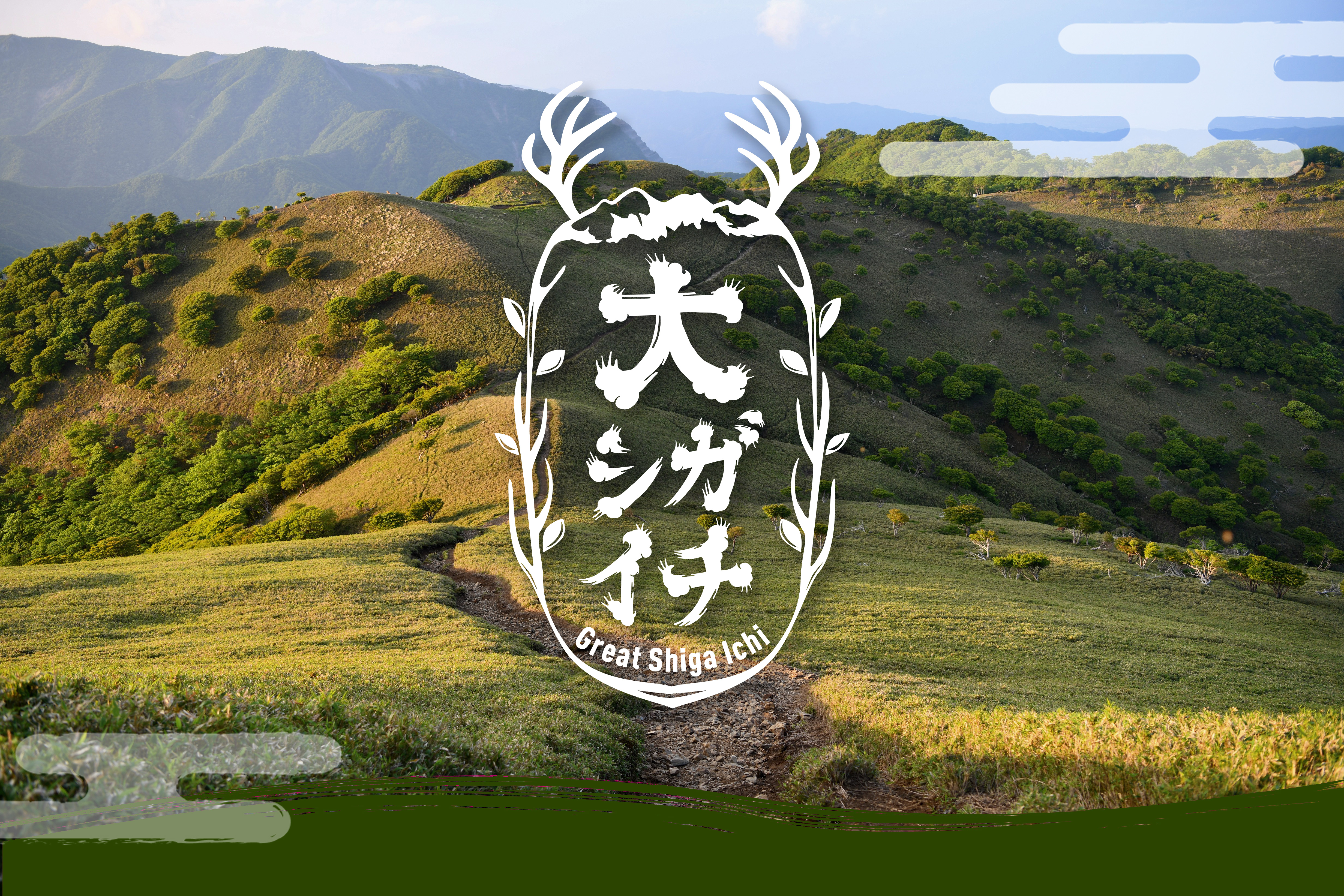
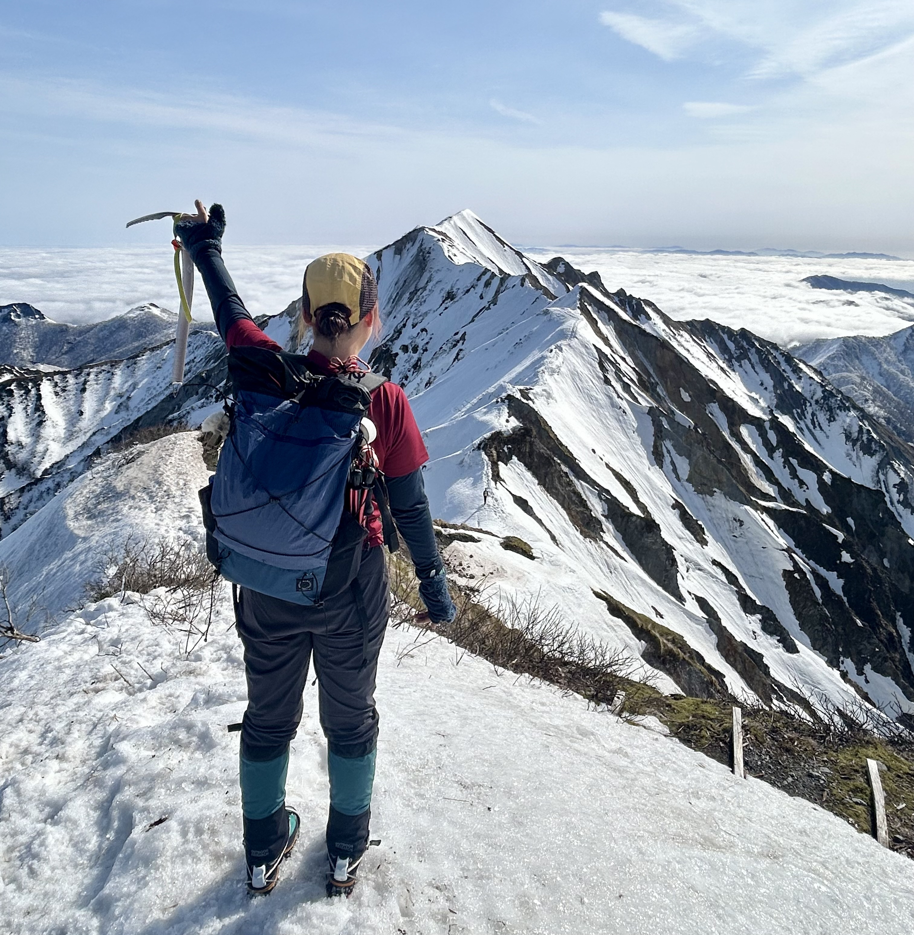
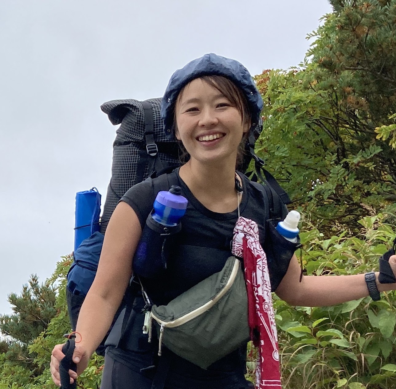
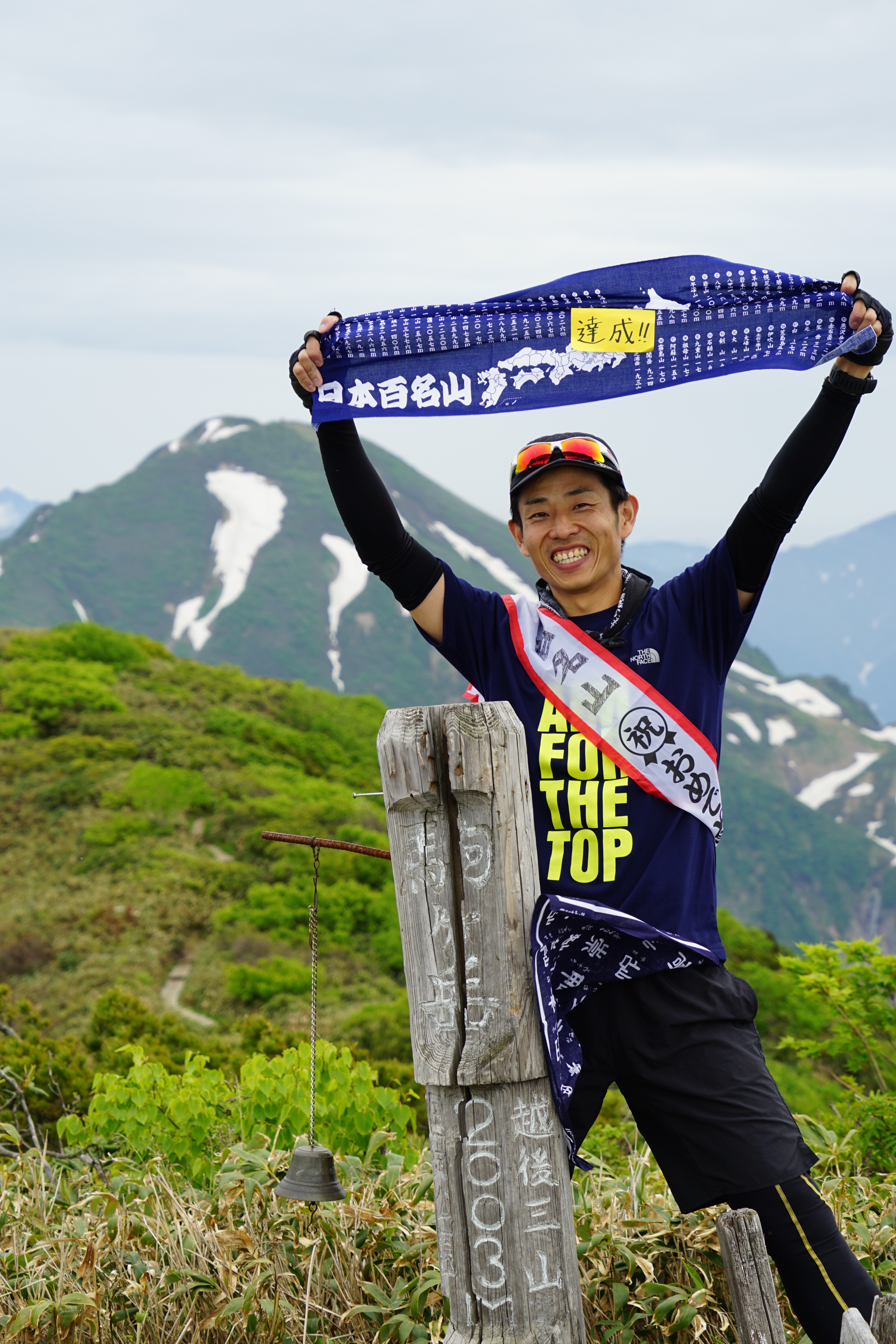
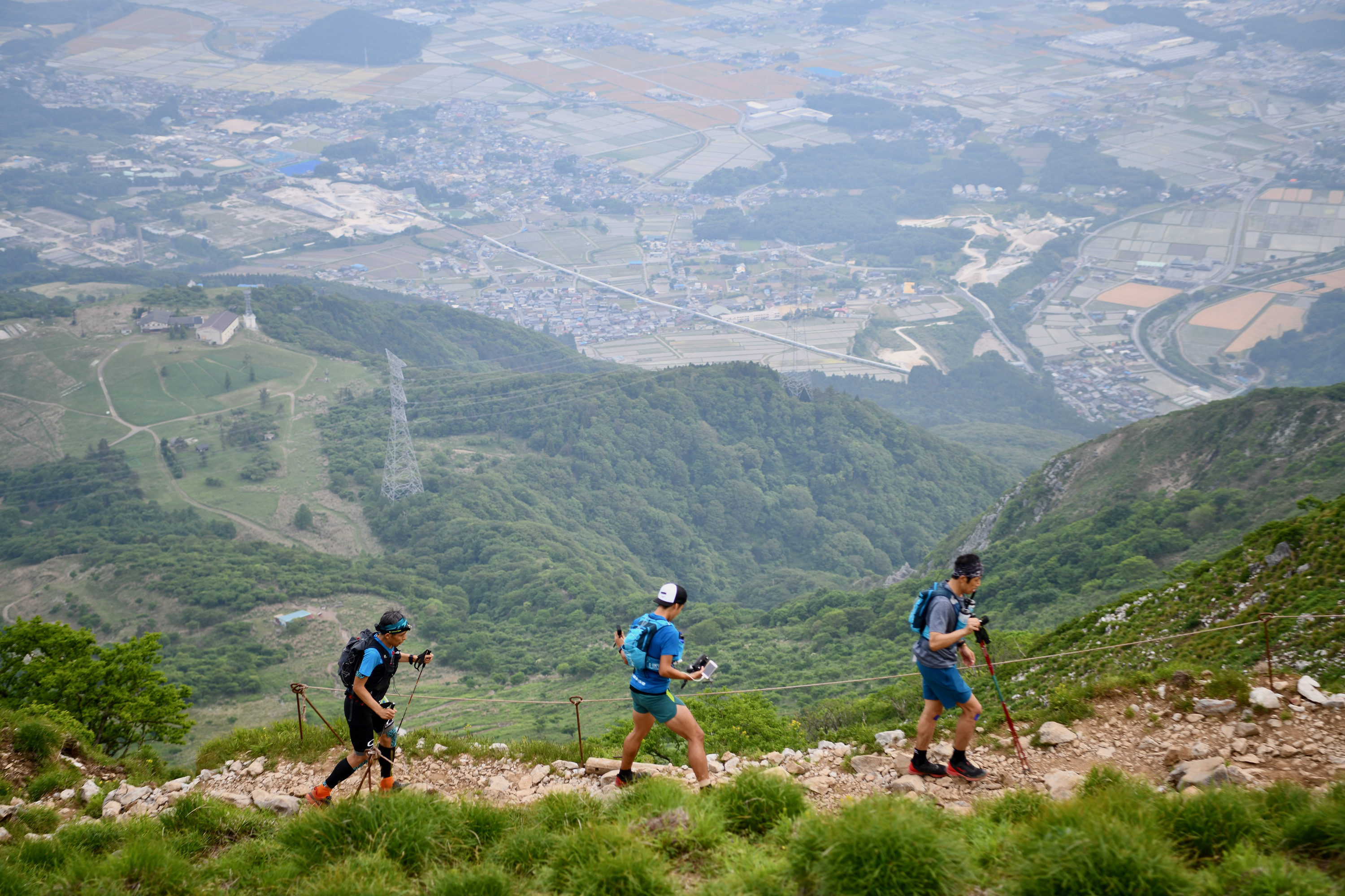
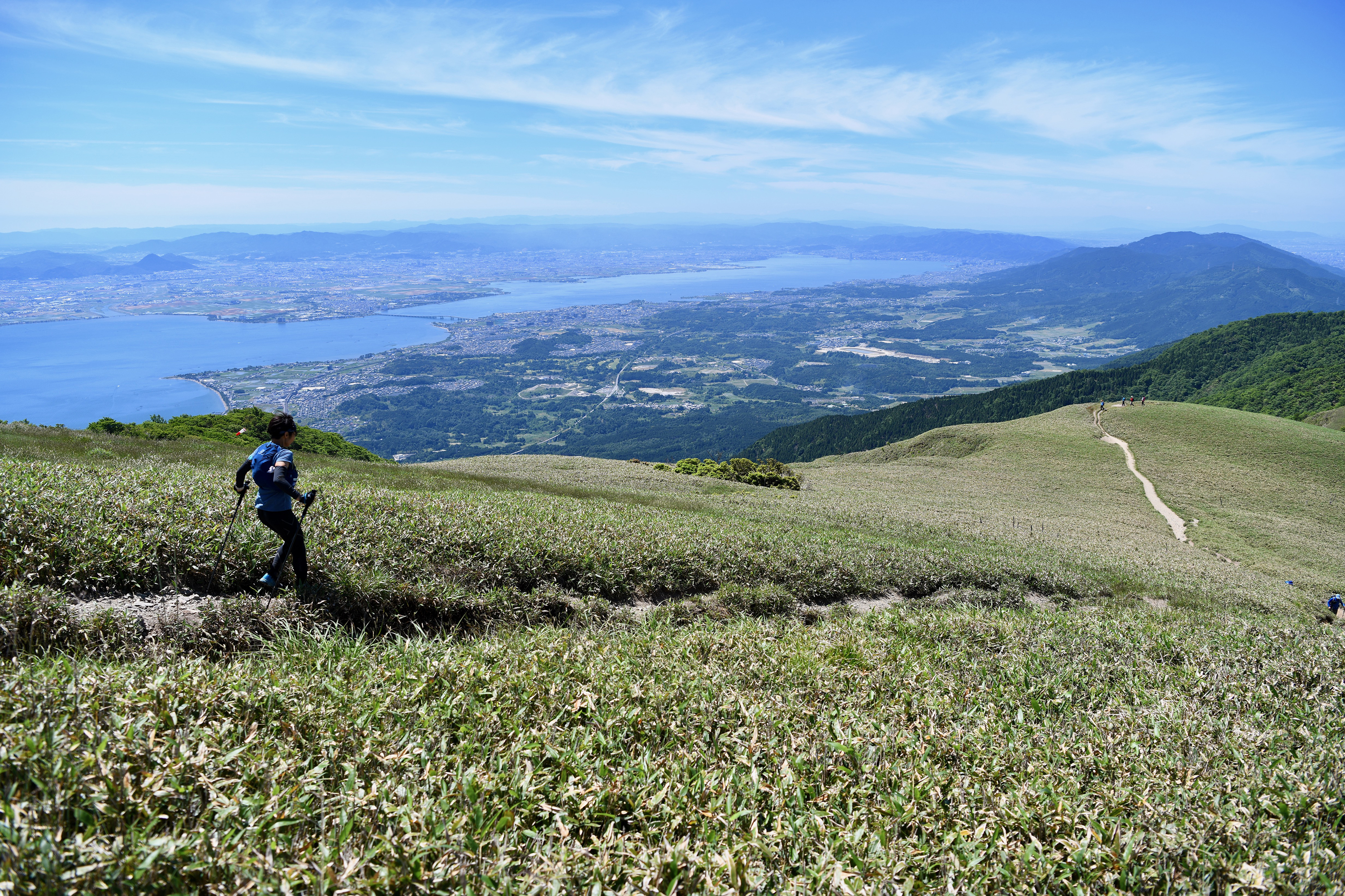
What is the Great Shiga Ichi?
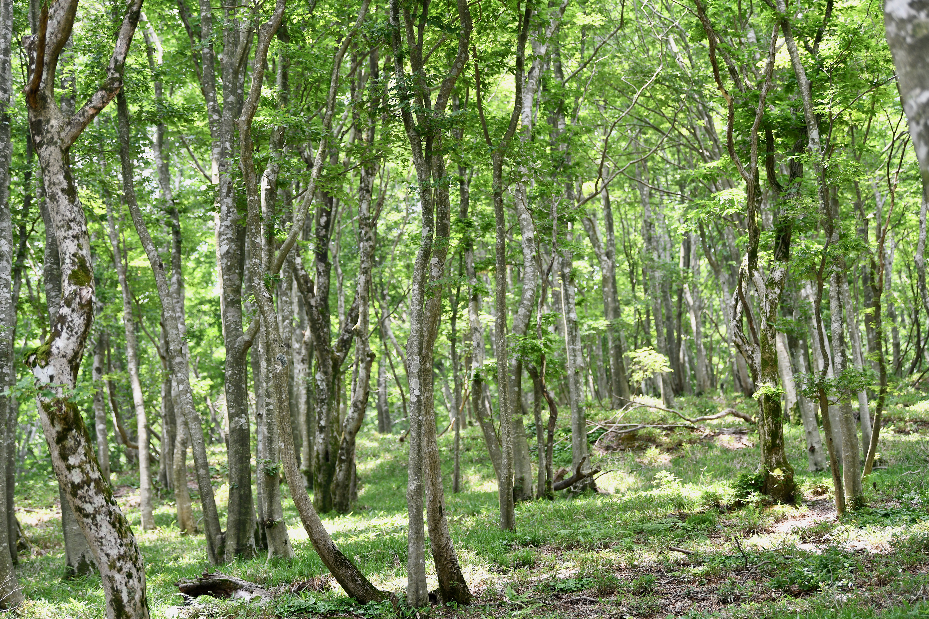
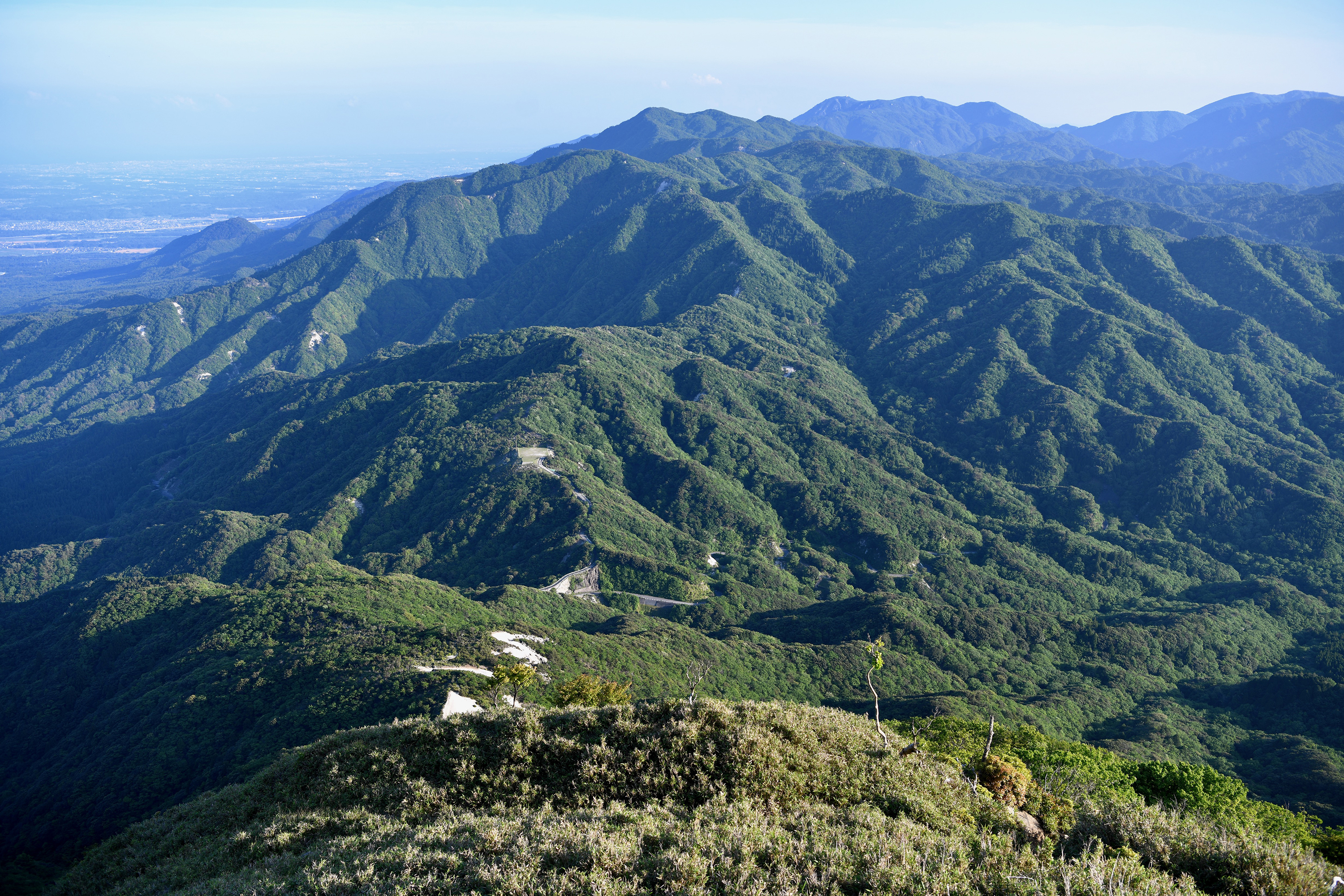
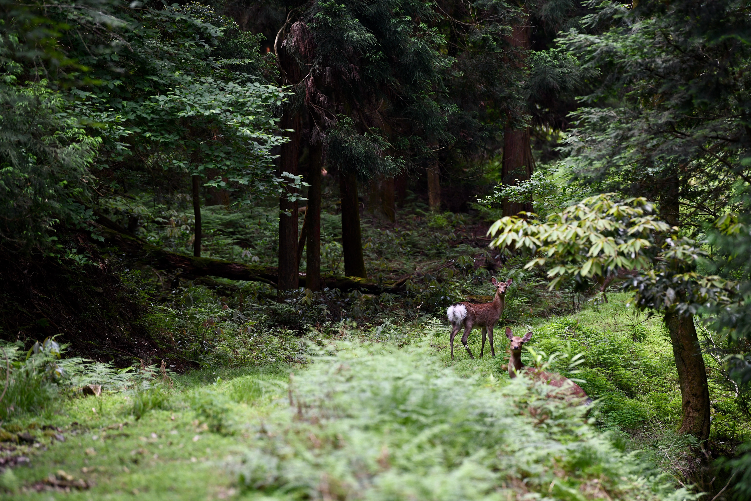
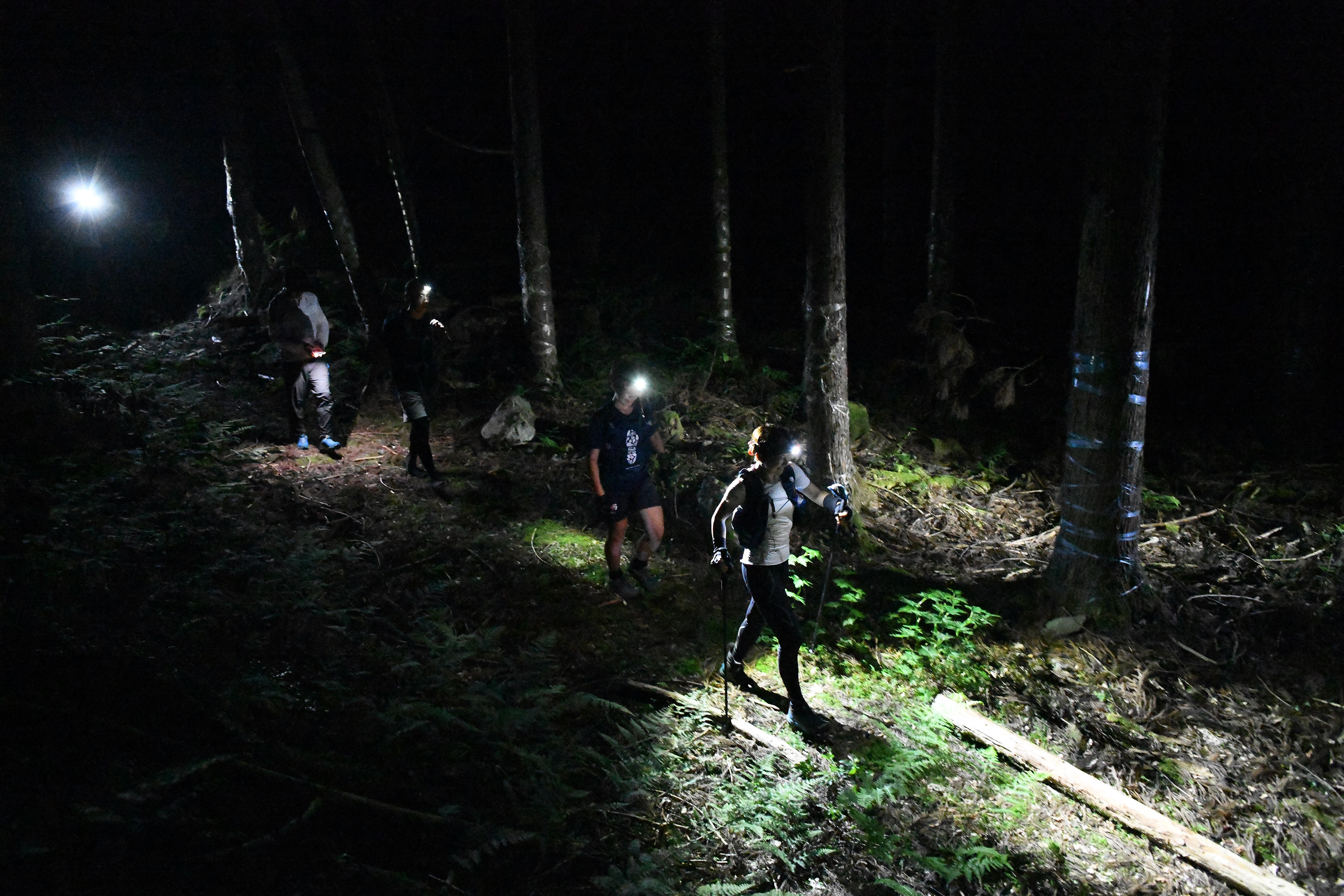
”Great Shiga Ichi” is a self-challenge event in which participants fully traverse the Shiga Round Trail encircling Shiga Prefecture, home to Lake Biwa. Also known as “Shiga Ichi”, this trail stretches 438 km with a total elevation gain of 28,300 m, ranking among Japan’s longest trails. More than 90% of the route consists of mountain paths or dirt forest roads. Though its elevations typically stay around 1,000 m—relatively low compared to major alpine regions—some segments are unclear or unmaintained, requiring solid route-finding skills and a certain level of hiking experience. Another key attraction is the abundance of historical sites, including ancient highways and old castle ruins. These features allow you to enjoy both magnificent scenery and traces of Japan’s heritage and local lifestyles.
Compared to “Great Northern Japanese Alps”, the lower elevations of Great Shiga Ichi reduce the barriers to entry, making it more accessible for those with less mountain experience. However, since there are no mountain huts like those found in the Northern Alps, participants must plan and supply their own food and gear—an excellent opportunity to develop essential mountain-travel skills. You might aim for the fastest possible finish time, or simply take your time exploring Shiga’s mountains and culture at a leisurely pace; the style is entirely up to you.
Sections with few travelers, extensive distances, and limited resupply options can feel daunting when attempted alone, but the support and camaraderie of fellow participants and supporters can be a tremendous source of encouragement. Experience the achievement and joy of circling Japan’s largest lake on your own two feet—join Great Shiga Ichi and discover the grandeur of Shiga’s epic trail.
GREAT SHIGA ICHI 2026 Entry List
Completed Challenges
| # | No. | #C | Photo | Name | Category | Start Time | End Time | Elapsed |
|---|---|---|---|---|---|---|---|---|
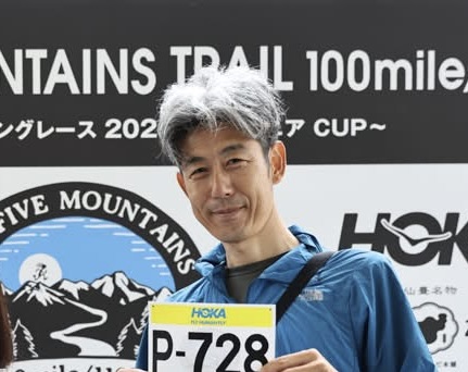
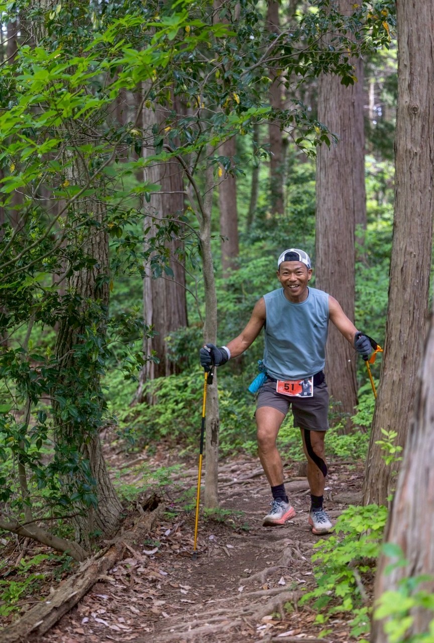
| 1 | 48 | 1 |
河畑 和宏
kazuhiro kawahata |
No Support | 2026-04-29 08:00 | 2026-05-06 22:14 | 7 days 14 hours 14 minutes | |
|
Course:
4/29大津港発、時計回りで8日(192時間)目標、5/7大津港着
Intro: 時計回り、ノーサポノーデポのビバークスタイル、8日(192時間)以内の完走を目指します(4/29-5/7)
|
||||||||
| 2 | 33 | 1 |
碓井直樹
Naoki Usui |
Support & Pacer | 2026-04-29 00:00 | 2026-05-07 00:35 | 8 days 0 hours 35 minutes | |
|
Course:
スケジュール概要
4/29 なぎさ公園~朽木
4/30 朽木~今津
5/1 今津~余呉
5/2 余呉~醒ヶ井
5/3 醒ヶ井~武平峠
5/4 武平峠~紫香楽
5/5 紫香楽~なぎさ公園
5/6 (予備日)
Intro: マイラーズ東海の碓井です。
今回の作戦は「公開・他力本願」。
行程をあえて公開することで、チームの仲間がふらっと応援や伴走、差し入れに来てくれることを期待するスタイルです(笑)
4/29~5/6、GWの期間をフル活用し、仲間の助けを借りて限界まで駆け抜けます。万が一、期間内に辿り着けなかった場合は、後日セクションハイクで完走を目指します。
ただし、憎き天敵「山ヒル」が本格始動する前には決着をつけたい…。もし間に合わなければ、潔く留年して出直します!
コース上で名前を呼んでいただけると、それは私にとって最強のヒル除けスプレーとなり、フィニッシュラインへ滑り込むための力になるはずです。
よろしくお願いします!
|
||||||||
| 3 | 47 | 2 |
森末 茂男
shigeo morisue |
No Support | 2026-04-25 06:30 | 2026-05-04 05:29 | 8 days 22 hours 59 minutes | |
|
Course:
反時計回りで。ゆっくり。
Intro: 2022年シガイチでリタイアしたリベンジをします。GWを使って一撃します!
|
||||||||
| 4 | 18 | 3 |
石川健太郎
KENTARO ISHIKAWA |
No Support | 2026-04-29 07:07 | 2026-05-09 23:02 | 10 days 15 hours 55 minutes | |
|
Course:
大津港より反時計回り、GW中に可能な限り進みたいです。
Intro: 昨年の大北アルプスに続いて参加です、頑張ります。
|
||||||||
| 5 | 20 | 4 |
北拓真
TAKUMA KITA |
No Support | 2026-04-26 05:00 | 2026-05-07 14:43 | 11 days 9 hours 43 minutes | |
|
Course:
国境スタートで反時計回りの
セルフ一撃スタイル
4/26スタート〜5/4ゴールのイメージ
Intro: 一撃楽しみ
|
||||||||
| 6 | 50 | 5 |
青山 純也
Junya AOYAMA |
No Support | 2026-04-25 11:08 | 2026-05-14 14:30 | 19 days 3 hours 22 minutes | |
|
Course:
関ヶ原から反時計回りで一撃、10日目標です。
→鈴鹿を残して足が上がらなくなったので、分割に切り替え出直してきます。
Intro: 山中心の生活を送っています。あまり馴染みのない山域なので新鮮な気持ちで楽しみたいと思います。
|
||||||||
| 7 | 43 | 6 |
中川統行
NORIYUKI NAKAGAWA |
No Support | 2026-03-24 08:30 | 2026-04-12 12:33 | 19 days 4 hours 3 minutes | |
|
Course:
大津港より反時計回りで行きたいと思います。3週間以内を目安にゴールしたいです。
Intro: 夏は北アルプスの北穂高小屋、冬は八ヶ岳の赤岳鉱泉で小屋番やっているものです。ハイクで150km以上は続けて歩いたことが無いので今回大シガイチでどのぐらいまでいけるのか楽しみです。北穂の小屋開けが始まるまでの参加ですが何卒よろしくお願いします!
|
||||||||
| 8 | 10 | 7 |
中島 聡
SATORU NAKASHIMA |
No Support | 2026-05-02 06:50 | 2026-05-24 21:33 | 22 days 14 hours 43 minutes | |
|
Course:
関ヶ原から反時計回りで
3分割予定
Intro: 楽しみたいです
|
||||||||
| 9 | 12 | 2 |
池田 征寛
YUKIHIRO IKEDA |
Support & Pacer | 2026-03-20 07:51 | 2026-04-19 10:41 | 30 days 2 hours 50 minutes | |
|
Course:
7周目は時計回りで〜♪( ´θ`)ノ
Intro: 待ってました〜。しかし残念ながら背番号12…(;´д`)
今年も楽しく遊びましょう!
|
||||||||
| 10 | 51 | 8 |
川口洋輔
KAWAGUCHI YOSUKE |
No Support | 2026-04-26 08:09 | 2026-06-07 02:43 | 41 days 18 hours 34 minutes | |
|
Course:
大津港から反時計回りです。
初めは、「4/26からの8日間行けるところまで」でしたが、予定変更しました。
1分割目:4/26 8:00スタート大津-4/30 11:00関ヶ原。
2分割目:5/13 21:30関ヶ原-5/16 22:30水坂峠。
3分割目:5/30 22:00水坂峠-5/31 22:40朽木。
4分割目:6/6 4:00朽木-6/7 2:43 ゴール大津。
小シガイチ:6/13 16:45大津-6/14 16:30大津
(自転車で反時計回り、サポート、ペーサーあり)。
Intro: 山口県からの参加です。安全第一でゆっくり歩きながら楽しみます。
|
||||||||
| 11 | 30 | 3 |
伊丹 啓
hiroshi itami |
Support & Pacer | 2026-03-20 06:50 | 2026-05-05 17:00 | 46 days 10 hours 10 minutes | |
|
Course:
4月17-19日
もどろぎ神社から時計回ります!
Intro: 今まで滋賀の山域にはなじみがありませんでしたが、近年レイクビワのボラを通じてローカルの方々にご縁があったり、参加者の方から誘ってもらって急にやる気が出てきました(笑)。九州・福岡からの参加は何かと大変かもしれませんが、それも含めて人一倍楽しもうと思います!
|
||||||||
| 12 | 5 | 9 |
赤木隆二
RYUJI AKAGI |
No Support | 2026-03-20 00:00 | 2026-05-05 19:20 | 46 days 19 hours 20 minutes | |
|
Course:
仕事などの所用、天気、元気度合などを考慮しながら、その都度組み立てます。
Intro: 「ほかにやることないんか?」と言われながらの2025に続いて2回目です
スライドする皆様、よろしくお願いします!
|
||||||||
| 13 | 31 | 10 |
井口 善晃
Yoshiaki Iguchi |
No Support | 2026-04-29 08:00 | 2026-06-15 17:25 | 47 days 9 hours 25 minutes | |
|
Course:
休みが取れそうなので一撃に挑戦します。
大津港から反時計回りで行きます。
Intro: 頑張ります!
今年は1周しかしません。
|
||||||||
| 14 | 54 | 11 |
松宮良樹
Yoshiki Matsumiya |
No Support | 2026-04-28 07:32 | 2026-06-14 19:51 | 47 days 12 hours 19 minutes | |
|
Course:
4月下旬スタート、コース上最も実家に近い醒ヶ井駅を発着にしての時計回り。12~3分割程度で期間内完走を目指します。 →結果、17分割でフィニッシュしました!
Intro: 滋賀県出身。憧れだったLAKE BIWA 100を完走、今度は大シガイチで故郷に錦を飾ります。
|
||||||||
| 15 | 21 | 4 |
堀田武史
TAKESHI HOTTA |
Support & Pacer | 2026-03-28 05:53 | 2026-05-16 13:33 | 49 days 7 hours 40 minutes | |
|
Course:
時計回りで分割で実施予定です
Intro: 昨年の反対回りを楽しみたいです。
|
||||||||
| 16 | 39 | 5 |
中村 謙介
KENSUKE NAKAMURA |
Support & Pacer | 2026-04-18 13:50 | 2026-06-13 13:20 | 55 days 23 hours 30 minutes | |
|
Course:
昨年とは逆の時計まわり
4/18-19 まずは足慣らしで大津港から道の駅くつき新本陣まで。
5/2~10 道の駅くつき新本陣からULスタイルで、時々補給で里に下りながら、行けるところまでやってみます!
Intro: 昨年と同じ背番号39!
ケガなく安全第一で2周目にトライします。昨年とは違うスタイルで進めたらええな〜と思ってます。
みなさま、よろしくお願いします!
|
||||||||
| 17 | 16 | 6 |
寺田昌樹
MASAKI TERADA |
Support & Pacer | 2026-04-15 21:45 | 2026-06-11 12:53 | 56 days 15 hours 8 minutes | |
|
Course:
時計回り予定。
GWまでに大津港〜朽木間の比叡、比良トレイル。GW(4月29日〜5月6日)に縦走スタイルにて進みました(途中、敦賀と関ヶ原でセルフ補給)。残りの鈴鹿パートは分割して進みますが、フィニッシュは6月にずれ込みます。梅雨入り前にゴールしたいです(^^)
※藤原岳で登山者にカロリーメイトをいただいたのでサポート有りに変更しています。
Intro: 自身の経験や技術がどこまでどう通用するのか?未だ見ぬ景色や彩りを求めてチャレンジします。
|
||||||||
| 18 | 3 | 12 |
卜部 光司
KOJI URABE |
No Support | 2026-03-20 14:18 | 2026-05-16 10:18 | 56 days 20 hours 0 minutes | |
|
Course:
反時計回りで、50キロ程度を繋いでいきたいと思ってます。
Intro: 昨年参加して魅力にハマりました。コースの一部が変更になり、昨年とは違う景色が見られるのが嬉しいです😊自分の空いた予定に合わせて、コースをどこで区切っていくかを地図を見ながら考えるのも楽しみのひとつです。
|
||||||||
| 19 | 9 | 7 |
忍晃
SHINOBU AKIRA |
Support & Pacer | 2026-04-30 10:00 | 2026-06-28 15:20 | 59 days 5 hours 20 minutes | |
|
Course:
反時計回りで、目指せ一撃計画します
Intro: 昨年は分割でたくさん楽しませていただいたので、今年は贅沢な山時間を楽みたいです。
|
||||||||
| 20 | 26 | 13 |
中谷 大基
Nakatani Hiroki |
No Support | 2026-03-20 08:30 | 2026-05-23 12:00 | 64 days 3 hours 30 minutes | |
|
Course:
なんやかんや悩んだ挙句、還来神社スタートの反時計周りで行く予定です。期間いっぱい楽しみたいと思います。
Intro: 滋賀一周ラウンドトレイルに憧れてトレランを始めました。経過地点に位置付けていたLAKE BIWAへの出場は未だ叶わないものの、どうせ試走するなら一石二鳥と思い申し込みました。人並外れた孤独耐性と衰えることの無い食欲を強みに粘り強く進みます。
|
||||||||
| 21 | 27 | 14 |
人見将宏
MASAHIRO HITOMI |
No Support | 2026-04-25 06:20 | 2026-06-28 14:13 | 64 days 7 hours 53 minutes | |
|
Course:
2026/04/25に大津港から反時計回りで一撃を目指します。
醒ヶ井or関ヶ原、菅並で友達にカロリー、バッテリー補給をお願いできたので5/6までの12連休中に行けるところまで👍️
2026/06/29結局12分割で6/28にゴールしました。
Intro: 2025の参加者です、去年は12分割位で主に時計回りだったので今年は趣向を変えて一撃目指して12日間でボチボチ行きます。
3日連続までしか動いたことがないのでドキドキですが、今年のトルデジアン330kに出場するので、その距離は行きたい!
道中の出会いを楽しみにしております。
|
||||||||
| 22 | 34 | 8 |
有江和美
Kazumi Arie |
Support & Pacer | 2026-03-22 05:40 | 2026-05-30 08:30 | 69 days 2 hours 50 minutes | |
|
Course:
まだ決めていません 休日と相談してと思っています。
Intro: エントリーされている方がすごい方ばかりでかなり迷いましたが、今まで行った山をつないでみたい、チャレンジは自由かなと思ってエントリーしました。
|
||||||||
| 23 | 36 | 9 |
豊福恒平
Kouhei Toyofuku |
Support & Pacer | 2026-04-11 07:21 | 2026-06-20 15:56 | 70 days 8 hours 35 minutes | |
|
Course:
大津港スタート、反時計回りで50-60kmの分割でいきます
Intro: 昨年はペーサーでコースの半分ぐらいを楽しませてもらいました。今回は参加者として踏破してみようと思います。週末主体でコツコツといく予定です
|
||||||||
| 24 | 24 | 10 |
天野雅之
masayuki amano |
Support & Pacer | 2026-03-20 00:09 | 2026-05-30 12:05 | 71 days 11 hours 56 minutes | |
|
Course:
まだ詳細決めていません。雪解けと体調を考えながら12分割以上で暑くなる前に終えられれば…。
Intro: 昨年、参加したかったのですがMt.FUJI100のため参加残念ながら見送りました。今年も開催との事で、参加させて頂きます!滋賀県民として参加しなければ!無理しすぎず頑張ります!
|
||||||||
| 25 | 11 | 15 |
佐々木 幹人
Sasaki Mikito |
No Support | 2026-03-20 07:06 | 2026-05-31 04:41 | 71 days 21 hours 35 minutes | |
|
Course:
大津港出発で反時計周りを予定してます。
3-4月で関ヶ原まで、GWからは関ヶ原から大津港まで。できれば5月中に踏破したいですが、天候、体調、モチベーションを考慮しながら安全第一で行動します。
Intro: 昨年の大北アルプスに続いて参加させて頂きます。今年のトレランレースや登山のトレーニングを兼ねて、滋賀一周トレイルを楽しみたいと思います。
大北アルプス2025参加賞の雷鳥手拭いを持参しますので、どこかで見掛けたら声掛けて下さい。
|
||||||||
| 26 | 7 | 11 |
三宅 彩香
Ayaka MIYAKE |
Support & Pacer | 2026-03-20 06:40 | 2026-05-31 13:10 | 72 days 6 hours 30 minutes | |
|
Course:
コースと日程はこれから妄想しながら考えます!考えるのも楽しみです。
Intro: 昨年はリハビリ中で泣く泣くエントリーを見送り、サポートに回って、また、IBUKIで皆さんの追っかけをしてました。報告会での「来年は出ます!」と宣言通り出ます。エントリーNo.1を狙ってましたが、叶わず(笑)
熊と下りが恐怖ですが、走らずのんびり滋賀の自然と出会いを楽しみたいと思います。ご一緒いただける方もお待ちしております!
|
||||||||
| 27 | 17 | 16 |
菊本優哉
Yuya Kikumoto |
No Support | 2026-03-20 06:20 | 2026-05-31 14:30 | 72 days 8 hours 10 minutes | |
|
Course:
週末を使って大分割です。大冒険です。
Intro: 今年もよろしくお願いします!
|
||||||||
| 28 | 19 | 12 |
横尾 賢治
Kenji yokoo |
Support & Pacer | 2026-04-07 23:10 | 2026-06-24 15:10 | 77 days 16 hours 0 minutes | |
|
Course:
大津港スタートゴールだけ決定
3月4月残雪を楽しみつつ、GWはテン泊したいな〜
Intro: 春が待ち遠しい!!
今年も開催していただきありがとうございます
奥伊吹の新コース楽しみです♪
|
||||||||
| 29 | 45 | 17 |
砂井 秀和
HIDEKAZU SUNAI |
No Support | 2026-04-08 08:00 | 2026-06-28 15:10 | 81 days 7 hours 10 minutes | |
|
Course:
馴染みのある比良山系から攻めて伊吹・鈴鹿を目指します。目一杯期間を使い欲張らず15~20分割で確実に踏破を目指します。
Intro: マラソンとウルトラマラソンで培ってきた体力を根底にゲームメイクを思い存分楽しみたいと思っています。
最後までがんばります!お近づきの際はお声掛けよろしくお願いします。
|
||||||||
| 30 | 23 | 13 |
下村祥子
shoko shimomura |
Support & Pacer | 2026-04-05 07:30 | 2026-06-28 14:08 | 84 days 6 hours 38 minutes | |
|
Course:
大津港スタートゴールにし、3月末から分割してGW辺りで走破したいです。
Intro: 過去のシガイチではサポートや応援などで関わってきました。自分もやってみたい気持ちはあったのですが、やっと決心できました。挑戦する機会を作ってくださりありがとうございます♪楽しみます。
|
||||||||
| 31 | 15 | 14 |
西山真一
Shinichi Nishiyama |
Support & Pacer | 2026-04-04 06:50 | 2026-06-27 21:05 | 84 days 14 hours 15 minutes | |
|
Course:
4月~6月にかけてざっくり5分割で進む予定です。以下仮日程
①4/4-5 比良縦走(朽木~還木)、比叡縦走(還木~出町柳)
(4/11-12レース)
②4/18-19 京都縦走(出町柳~田ノ上枝公園)、東海自然歩道(田ノ上枝公園~余野公園)
③4/25-26 鈴鹿山地縦走(余野公園~醒ヶ井駅)
(5月家族行事、レース、ペーサー業務、6/7レース)
中山道のみ 5/6 醒ヶ井駅〜関ヶ原駅
④6/13-14 伊吹山地(関ヶ原駅~深坂越)
⑤6/20-21 高島トレイル(深坂越~道の駅朽木、道の駅朽木発着のループ)
(6/27-28 予備日)
Intro: ロングジャーニーが大好きです。伊吹山地や高島トレイルは冒険トレイルと聞き、いつかやってみたいと狙っていました。比良山地、鈴鹿山地も好きな山域です。ゆっくりですが、踏破を目指して頑張ります!
|
||||||||
| 32 | 6 | 15 |
山口晃永
koei yamaguchi |
Support & Pacer | 2026-04-04 09:30 | 2026-06-30 20:00 | 87 days 10 hours 30 minutes | |
|
Course:
コースはまだ決めてません!
去年の残りを頑張ってやり切ります❗️
Intro: 今年も留年制度を使って昨年の宿題を片付けに行きます❗️よろしくお願い致します🙇
|
||||||||
| 33 | 37 | 16 |
安藤弘一
KOICHI ANDO |
Support & Pacer | 2026-03-20 08:00 | 2026-06-21 14:11 | 93 days 6 hours 11 minutes | |
|
Course:
大津から時計回りでスタートし、週末主体に期間を目一杯使った分割で進む予定です。
Intro: 昨年このイベントを知り、純粋にチャレンジしたいと思いました。登山経験があまりない自分ですが、滋賀の山々を楽しみたいと思います。
|
||||||||
| 34 | 4 | 18 |
コテク・フィリップ
Kotek Filip |
No Support | 2026-03-22 09:53 | 2026-06-29 09:20 | 98 days 23 hours 27 minutes | |
|
Course:
来たっ!取り急ぎ申し込みます。詳細は後日記載させていただきます。
現時点決めてることは下記の通り:
1) 時計回り、サポートなしでチャレンジ
2) 5分割以内で制覇したい
3) できれば3月中にスタートして、残雪を楽しみたい
Intro: チェコ出身、大阪府箕面市在住、第一回目のイベントに参加したフィリップです。
|
||||||||
| 35 | 1 | 17 |
田井中洋二
tainaka yoji |
Support & Pacer | 2026-03-20 06:23 | 2026-06-28 15:44 | 100 days 9 hours 21 minutes | |
|
Course:
まずは浜大津をスタートして時計回りで還来神社まで行きその後、琵琶湖をわたり千種街道を東進して御在所岳に取り付き北へGPSアートを意識して一筆書きを崩さず、前回の26分割よりは少ない分割でトライします!
Intro: 昨年、大シガイチを完走しましたが、稜線をくる日くる日も歩いたあの感じが忘れられず、今年も舞い戻って来ました!分割はするつもりですが、地元の地のりを生かして誰にも頼らず、ルートには公共交通機関を使ってたどり着きたいと思います!
大シガイチの詳細はLISTENの声日記で順次公開中!
https://listen.style/p/tainaka
|
||||||||


Currently Challenging!
| # | No. | Photo | Name | Category | Start Time | Elapsed Time |
|---|---|---|---|---|---|---|
| 1 | 2 |
笹岡 誠 SASAOKA MAKOTO |
No Support | 2026-04-29 06:00 | ||
|
Course:
2025年と同じく大津港スタートの時計回りです。
後半にLAKE BIWAコースが来ると気が楽なので、今年もこの向きでいきます。
ツエルト泊でスルーハイク予定。休みが取れたら昨年同様に一撃、難しければ二撃くらいでのんびり挑戦します。
Intro: 22年大会は「おっきん(320km)」でタイムオーバーによりリタイア。
25年大会で無事に一周できました。
大シガイチは、24時間好きな時間に動けて、好きな場所で休めるのが魅力で、いちばん好きなイベントです。
今のところ「大◯◯シリーズ」は皆勤中です。
今年も楽しみにしています。よろしくお願いします!
|
||||||
| 2 | 8 |
長谷川麻衣 MAI HASEGAWA |
Support & Pacer | 2026-04-05 07:28 | ||
|
Course:
まだノープラン。
Intro: 留年制度あるってことで気楽に参加してみるよ
|
||||||
| 3 | 13 |
小林憲司 KENJI KOBAYASHI |
No Support | 2026-05-01 21:30 | ||
|
Course:
一撃でいきたいところですが、日程確保も難しいため、分割になると思います
分割具合によっては装備も変わってくるのですが、コースはこれから検討します
⇒時計回りで進みます
Intro: 早くはないですが、コツコツと進み、楽しみたいと思います
|
||||||
| 4 | 14 |
渡邊強人 TSUYOHITO WATANABE |
Support & Pacer | 2026-03-21 04:00 | ||
|
Course:
まだ未定ですが、ボチボチ行きます
Intro: 今年で完了できるかは微妙ですが、楽しみ尽くします!
|
||||||
| 5 | 22 |
鈴木 祥一郎 Shoichiro Suzuki |
No Support | 2026-03-20 09:00 | ||
|
Course:
日程はまだ決めていませんが、トライさせてください!
Intro: 石舞台にこの間参加して、今年の秋に向けて体力作りしたいです!
|
||||||
| 6 | 25 |
伊藤始進 motonobu ito |
No Support | 2026-03-20 09:00 | ||
|
Course:
お仲間と相談して決めたいと思います。
Intro: LAKEBIWA100の前哨戦でコツコツ刻んで行きます。
|
||||||
| 7 | 28 |
金本 一紀 kazutoshi kanamoto |
Support & Pacer | 2026-03-20 14:20 | ||
|
Course:
反時計回りで進みたいと思っています。
詳細は未定です。
Intro: とにかく楽しみたいと思います!
|
||||||
| 8 | 29 |
奥村 光義 Mitsuyoshi Okumura |
Support & Pacer | 2026-03-20 08:41 | ||
|
Course:
まずは浜大津から還来神社まで行き、その後も時計回りで全体で11分割くらいでいけたらと思ってます。詳しくはこれから考えます。
Intro: 滋賀県出身・在住の、滋賀を愛する男です。普段は滋賀県南部の山を中心に走っています。昨年、大シガイチ参加者に同行して初めて奥伊吹や高島トレイルに入り、その素晴らしい景色とトレイルに深く感動しました。まだ見ぬ滋賀の魅力に出会いたいと思い、今回の参加を決意しました。なお、期間中には Mt. FUJI にも出場予定です。自分にとって大きな挑戦ですが、踏破を目指し、全力で楽しみたいと思います。
|
||||||
| 9 | 32 |
小松敏之 Toshiyuki KOMATSU |
No Support | 2026-03-20 08:58 | ||
|
Course:
まだ未定ですが半時計まわりで大津港からスタートしようと思います
Intro: IBUKIステーションやレイクビワのボラで興味を持ちました。留年制度もあるようで地道に進みます
|
||||||
| 10 | 35 |
西村 厚祐 KOSUKE NISHIMURA |
Support & Pacer | 2026-03-20 08:00 | ||
|
Course:
びわ湖浜大津から時計回りで15~20分割で進める予定です。
Intro: トレランを初めて間もないですが、登山経験は6年程になるので少しずつでも距離を進めたいと思います。
正直、期間内のゴールや体力、それに気力の闘いになることに不安を感じておりますが、
今回のイベントに誘ってくれた仲間と共に完遂できるよう頑張りたいと思います!
|
||||||
| 11 | 38 |
宮田 隆志 Takashi Miyata |
Support & Pacer | 2026-03-20 10:24 | ||
|
Course:
雪のないコースから時計回りにし進みます。
去年より分割数少なめにしたいです。
オーバーナイト、テン泊も考えてます。
ゴール地点に車デポしてスタート地点まで公共交通機関で移動できるコースで計画。
サポート、ペーサーありにはしていますが基本はセルフの予定です。
サポート、ペーサー、ウェルカムです!!
Intro: 去年は半数以上天候悪かったので、良い天気に恵まれ景色を堪能します!
|
||||||
| 12 | 40 |
立岡洋祐 yousuke TATSUOKA |
Support & Pacer | 2026-03-20 06:07 | ||
|
Course:
3/20 安楽峠〜余野公園 3/21 ヤマイチ 3/23 醒ヶ井〜関ヶ原 3/28 安楽峠〜武平峠 4/19 コモイチ
6/21 大津港〜還樹神社
Intro: 鈴鹿峠の麓の民です。
近場の山からなるべく日帰りでコツコツと。
|
||||||
| 13 | 41 |
本山美久仁 MIKUNI MOTOYAMA |
Support & Pacer | 2026-03-20 08:40 | ||
|
Course:
ひとまず大津港からスタートしたいと思っています。まだ予定は未定ですが分割で少しずつハイクで進む予定です。
Intro: 去年、IBUKI STATIONで大シガイチのことを聞きながら、自分は参加してないのに何だかワクワクして勝手に盛り上がってました。今年は勢いで申し込んでました(笑)大冒険を楽しみたいと思います!
|
||||||
| 14 | 42 |
山田恒 Hisashi Yamada |
Support & Pacer | 2026-03-20 08:36 | ||
|
Course:
まだ計画中で、たぶん反時計回りです。基本ハイクで行く予定なのでなるべく分割してまわろうかと思っています。最初から留年も視野に入れてます。
Intro: ポッドキャスト聴いていていいなと思って、羨ましいと思うなら行こうと思って思い切って申し込みました。ゆっくり歩いて大シガイチを堪能したいと思います。黄色のバックパックにミャクミャクつけて歩いてますので声かけてください。
|
||||||
| 15 | 44 |
桑原佑輔 Yusuke KUWAHARA |
No Support | 2026-04-05 00:00 | ||
|
Course:
休みの予定とにらめっこしてこれから考えます!
Intro: 留年制度を活かした2年目です!
仕事の合間をみつけてできる限り頑張りたいと思います!
|
||||||
| 16 | 46 |
きわむし。 kiwamushi |
Support & Pacer | 2026-04-26 10:35 | ||
|
Course:
4月26日(日)大津港を出発。反時計回りで一撃予定でしたが五僧峠で撤退(^^;; 予定を変更して週末に分割で行けるところまで行く予定です。最大の障壁は仕事との兼ね合い(泣)
Intro: エントリー名はラジオ局のパーソナリティー名です。はじめての挑戦です。自身160km以上は経験がないので一撃だと未経験ゾーンなので自分がどうなるか想像がつかない状態です(^_^;)とにかく、せっかくのロングトレイル✨️滋賀の山を苦しみ楽しみたいと思います。
|
||||||
| 17 | 49 |
沼田 匡史 Masashi Numata |
No Support | 2026-04-13 08:00 | ||
|
Course:
大津港をスタートして半時計回りに進む予定です。
Intro: 昨年完走された方の報告会を聞いて、今回参加を決意しました。
分割で進む予定ですが、詳細はまだ何も決めていません。
よろしくお願いします。
|
||||||
| 18 | 52 |
大庭 哲久 OHBA NORIHISA |
Support & Pacer | 2026-04-11 07:00 | ||
|
Course:
大津港からスタートして反時計回りを予定しています。
スルーハイクをあきらめトレランで柘植ー武平峠、鞍掛峠ー関ケ原、武平峠ー鞍掛峠、に分けて関ケ原までを目指します。天気予報とにらめっこしながら天候の良さそうな日をチョイスしていきたいと思います。
Intro: 高所恐怖症で登山経験があまりないのでのんびり踏破を目指したいと思います。
|
||||||
| 19 | 53 |
中島英摩 Emma Nakajima |
Support & Pacer | 2026-05-17 07:22 | ||
|
Course:
5/14週から歩き始めて行けるところまで行き、残りの宿題は期間中に分けて歩く感じでいきます!一撃に拘らず、旅を楽しみます。
Intro: 関西生まれ育ち、現実家は滋賀。今年はハイカーの方も多くて、皆さんがあまりにも楽しそうで、仲間に入れて欲しくなりました!(笑)サポート予定はないですが、友人が会いにきてくれるかもと期待を込めてサポ有りにします!山好き70代両親も巻き込むつもりです。
|
||||||
| 20 | 55 |
木村 勇基 YUUKI KIMURA |
No Support | 2026-05-02 07:30 | ||
|
Course:
昨年度の反対で、時計まわりを基本的とします。
Intro: 今年は時間の確保が難しく見送るつもりでしたが、可愛いTシャツ、新コースなど新たな魅力に惹かれてエントリーしてしまいました。
留年制度も視野に入れて、時間が確保できたら山に入りたいと思います。時計周りを基本として進みたいと思います。
|
||||||
| 21 | 56 |
秦大輔 DAISUKE HATA |
No Support | 2026-05-23 01:28 | ||
|
Course:
大津港から時計周り予定
最初は3日間
あとは20以外の6月の土日を3回の予定
四国から移動時間もあるし、4分割でいけるかなぁ、、
スタートしたものの、靴ズレ?が痛くて4キロで終了🧸
どうなる事やら、、
Intro: 初参加です。
気軽に完走目指して頑張ります。
良かったら、声掛けやフォローお願いします。
|
||||||
| 22 | 57 |
庵原 良介 RYOSUKE IHARA |
No Support | 2026-06-22 20:00 | ||
|
Course:
6月22日〜24日余野公園→醒ヶ井、
25日〜27日醒ヶ井→今津途中谷、
28日今津途中谷→朽木、
29日朽木→北白川、
30日北白川→余野公園
Intro: こんなに長い距離を走るのは初めてですが、挑戦させていただきます。
|
||||||
| 23 | 58 |
金山 航 Ko Kanayama |
No Support | 2026-06-04 01:40 | ||
|
Course:
大津港から反時計回り。10日以内で完踏したいです。
Intro: 一歩一歩着実に。初めての山域ばかりなので、とにかくわくわくです。
|
||||||
Event Period
Eligibility
- Those who have the skills and physical strength to safely complete the course of this event.
- Those who have mountain insurance (including coverage for search and rescue costs).
Participation Fee
- For participants who already have an IBUKI device: 10,000 yen (tax included)
- For those without an IBUKI device: 15,000 yen (tax included)
Participation Application
Event has ended
Rules
- In this event, participants must traverse the designated mountain sections on foot as set by the organizer, while city (paved) sections may be chosen freely at the participant’s discretion. Please be sure to visit the monument at Otsu Port.
- Participants are free to decide their start time within the event period, but must finish within the event period.
- The start and end points, as well as the direction and route (including city areas), are at the participants’ discretion, as long as they satisfy the above condition. Any route changes in the city areas are permitted, provided that the entire journey remains continuous on foot.
- They must carry an IBUKI GPS device and share their log on the official event page.
- The submitted logs will be used to confirm passage along the course. The completion time will be recognized and published on the official website along with the participant’s ranking.
-
Participants must choose one of the following styles and declare their category. The category may change during the event if necessary (e.g., receiving support along the way):
- Support & Pacer Allowed: Participants may receive support or utilize pacers, relying on assistance from others.
- No Support or Pacer: Participants do not rely on any external support or pacers.
- In all categories, participants may use vending machines or shops for resupply. Water replenishment is allowed anywhere.
- Participants must carry all equipment themselves, excluding food and drinks resupplied during the journey. However, they may exchange gear at shops or any location they choose.
- Participants may leave the course at any point and resume their challenge from any location later. In other words, as long as the entire course is traversed on foot during the event period, the order or direction of progress does not matter, and the challenge can be split into multiple segments—even returning home in between. They may use vehicles outside the official course, but must cover the designated route entirely on foot. If the challenge is conducted over multiple segments, the completion time is the elapsed time from the initial start to the final finish.
- Participants must recognize that the event area includes many sections with unclear paths, requiring solid route-finding skills. Safety should be the top priority, and they should always act with ample reserve.
- Participants are responsible for their own preparations and necessary measures for a multi-day trek, including selecting equipment, planning routes, arranging food supplies, submitting a climbing plan, and obtaining mountain insurance.
- This event is an individual challenge; while the organizer will monitor participants and respond in emergencies, there is no compensation for accidents. Participants must join with this understanding.
Course
https://ibuki.run/ev/8964704438286635426/map
This is the official course for Dai Shiga Ichi. Participants are required to follow the entire route on foot.
Changes from 2025
- A route grazing just below the summit of Mt. Ibuki, Shiga Prefecture's highest peak, has been added. The northern slope of Mt. Ibuki poses a risk of slipping during bad weather. The Ibuki Driveway runs slightly above it and can be walked outside of operating hours. If you feel danger, please consider using the Ibuki Driveway.
- Sasamagadake in the south has been added. After May 12, construction on the Shin-Meishin Expressway will be completed, and the trail between Sasamagadake and Oishi will be passable. (A new course passing through a tunnel under the expressway will be created.) This route will become the official route after May 12, but until May 11, please take the detour route descending north from Sasamagadake by road.
Note that in the Okubuki area and the Yogo area, many sections are rarely traveled and the route can be unclear. Use a GPS-enabled map app or similar tool, and exercise utmost caution in route-finding.
Distance: about 450km
Total Elevation Gain: about 28,500mD+
Click here for the course map and GPX file.
We have also prepared a map that includes water sources, toilets, and baths. You can access it here:
Water/Toilet/Bath Map
If you are participating with MYIBUKI, please visit this event page and press the "Participate" button:
MYIBUKI Event Page
Information
IBUKI STATION Podcast
We share the latest news and insights for Shiga Ichi on our IBUKI STATION podcast. Tune in to stay updated!
Sponsors
Organizer: Great Trails Organizing Committee
Contact: info@great-trails.jp